Is Tyrol part of Austria or Italy? What hikers should know
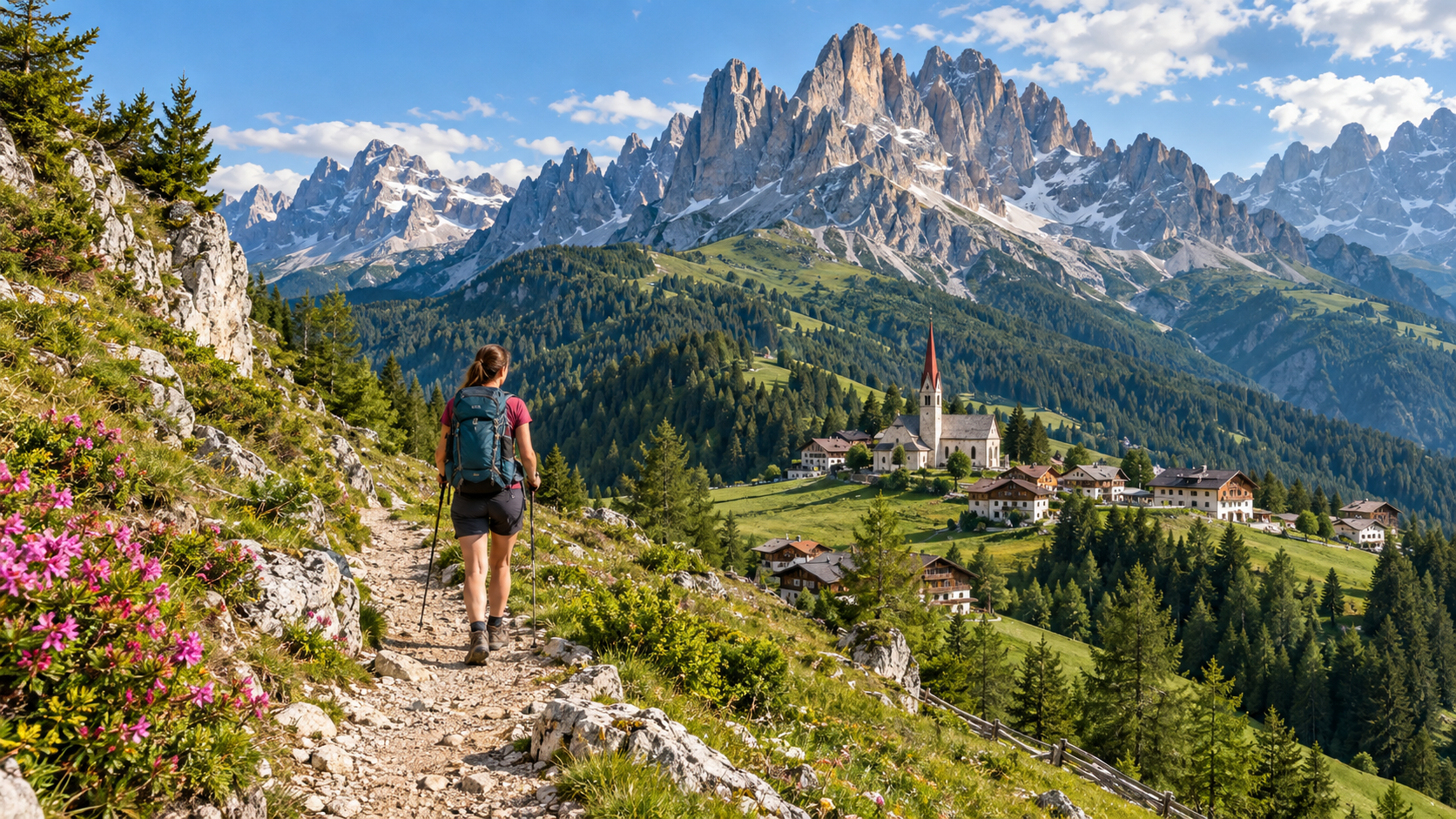
When we say Tyrol, we can mean two different things. Modern Tyrol is an Austrian federal state, made up of North Tyrol and East Tyrol. At the same time, there is also a much larger historical Tyrol region, whose southern parts now belong to Italy. This includes South Tyrol – Südtirol / Alto Adige and, in historical terms, Trentino as well. For hikers, it is therefore perfectly normal to encounter the same Tyrolean culture, German and Italian place names, similar Alpine landscapes and yet two different countries between Innsbruck and the Dolomites.
North Tyrol and East Tyrol together form the Austrian federal state of Tyrol, whose capital is Innsbruck.
Südtirol / Alto Adige is officially the Autonomous Province of Bolzano–Bozen, in the northernmost part of Italy.
After the Treaty of Saint-Germain, the Tyrolean territories south of the Brenner Pass became part of Italy.
Austrian Tyrol, South Tyrol and Trentino also cooperate today within the Tyrol–South Tyrol–Trentino European Region.
- Tyrol = Austria Innsbruck, Ötztal, Zillertal, Stubai, Karwendel, Kitzbühel and East Tyrol all belong to the Austrian state of Tyrol.
- South Tyrol = Italy Bozen/Bolzano, Meran/Merano, Brixen/Bressanone, Sterzing/Vipiteno and the South Tyrolean Dolomites are in Italy.
- Trentino is also historically Tyrolean territory Today it is the Autonomous Province of Trento, and in everyday geography it is generally not simply called Tyrol.
- For hikers, it is one continuous Alpine region Despite the political border, the Alpine mountain ranges, passes and long-distance trails naturally continue from Austria into Italy.
Both – it depends on what you mean by Tyrol
You can encounter the name Tyrol in three different senses
The confusion comes from the fact that a modern administrative region and a historical region share the same name.| Name | Country today | What does it mean? |
|---|---|---|
| Tyrol | Austria | One of Austria’s federal states, consisting of North Tyrol and East Tyrol. |
| South Tyrol / Südtirol / Alto Adige | Italy | The Autonomous Province of Bolzano–Bozen, in northern Italy. |
| Trentino | Italy | The Autonomous Province of Trento. Historically connected to the southern part of Tyrol. |
| Historical Tyrol | Austria + Italy | The historically connected Alpine region consisting of modern Tyrol, South Tyrol and Trentino. |
If an Austrian map simply says Tyrol, it usually means the Austrian federal state. If you see Südtirol / Alto Adige, you are in Italy.
The modern border is the result of the territorial settlement after World War I
Historical Tyrol was a continuous territory for centuries
The present-day border at the Brenner Pass only became the border between Austria and Italy in the early 20th century.-
From 1363: Habsburg connection The Tyrolean territories were connected to the Habsburg monarchy for many centuries. The modern border did not yet separate Innsbruck, Bolzano and Trento.
-
1918: World War I ends With the collapse of Austria-Hungary, the political position of Tyrol changed as well.
-
1919: Treaty of Saint-Germain Under the peace treaty, the Tyrolean territories south of the Brenner Pass were transferred to Italy.
-
1920: the new border becomes permanent South Tyrol became part of Italy, while North Tyrol and East Tyrol remained in Austria.
-
Today: two countries, one European Region Tyrol, South Tyrol and Trentino have also cooperated institutionally since 2011 within the Tyrol–South Tyrol–Trentino European Region.
The geographical and cultural links therefore remain very strong today. Hikers can see this particularly clearly: Alpine architecture, mountain farming, the world of huts and rifugi, routes crossing mountain passes and shared mountain ranges do not stop at the national border.
North Tyrol and East Tyrol together form the modern Austrian federal state
From Innsbruck and the Ötztal all the way to the Hohe Tauern
One of Austria’s most important mountain regions, with almost 24,000 kilometres of hiking trails.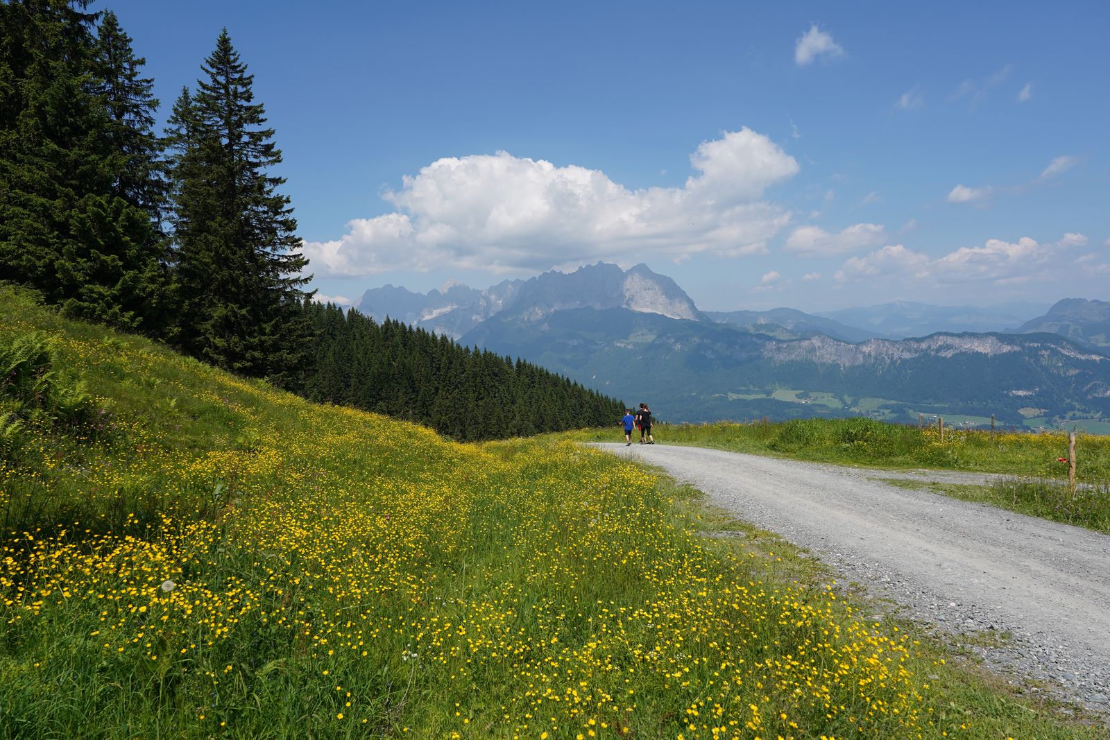
| Hiking region | What is it like? | Who is it for? |
|---|---|---|
| Karwendel | Limestone mountains, wild valleys and long mountain trails. | Classic Alpine hiking and multi-day hut-to-hut routes. |
| Ötztal | High peaks, glaciers and deep valleys. | High-mountain hikes, long ascents and Alpine terrain. |
| Stubai | A high-mountain valley near Innsbruck with a glaciated backdrop. | Suitable for both day hikes and multi-day routes. |
| Zillertal | Long valleys, high-altitude huts, granite mountains and glaciers. | Hut-to-hut hiking and more demanding mountain routes. |
| Wilder Kaiser | Spectacular limestone walls and well-developed hiking infrastructure. | From scenic hikes to more technical mountain routes. |
| East Tyrol | Quieter, less developed high-mountain scenery. | For hikers looking for less crowded Alpine terrain. |
East Tyrol is part of Austria and the federal state of Tyrol, but it does not directly border North Tyrol. The Lienz area is reached via Salzburg, Carinthia or South Tyrol in Italy.
Part of Italy, but Tyrolean culture and the German language remain dominant
South of the Brenner Pass, you are already hiking in Italy
South Tyrol is an autonomous province where German, Italian and Ladin are all part of everyday life.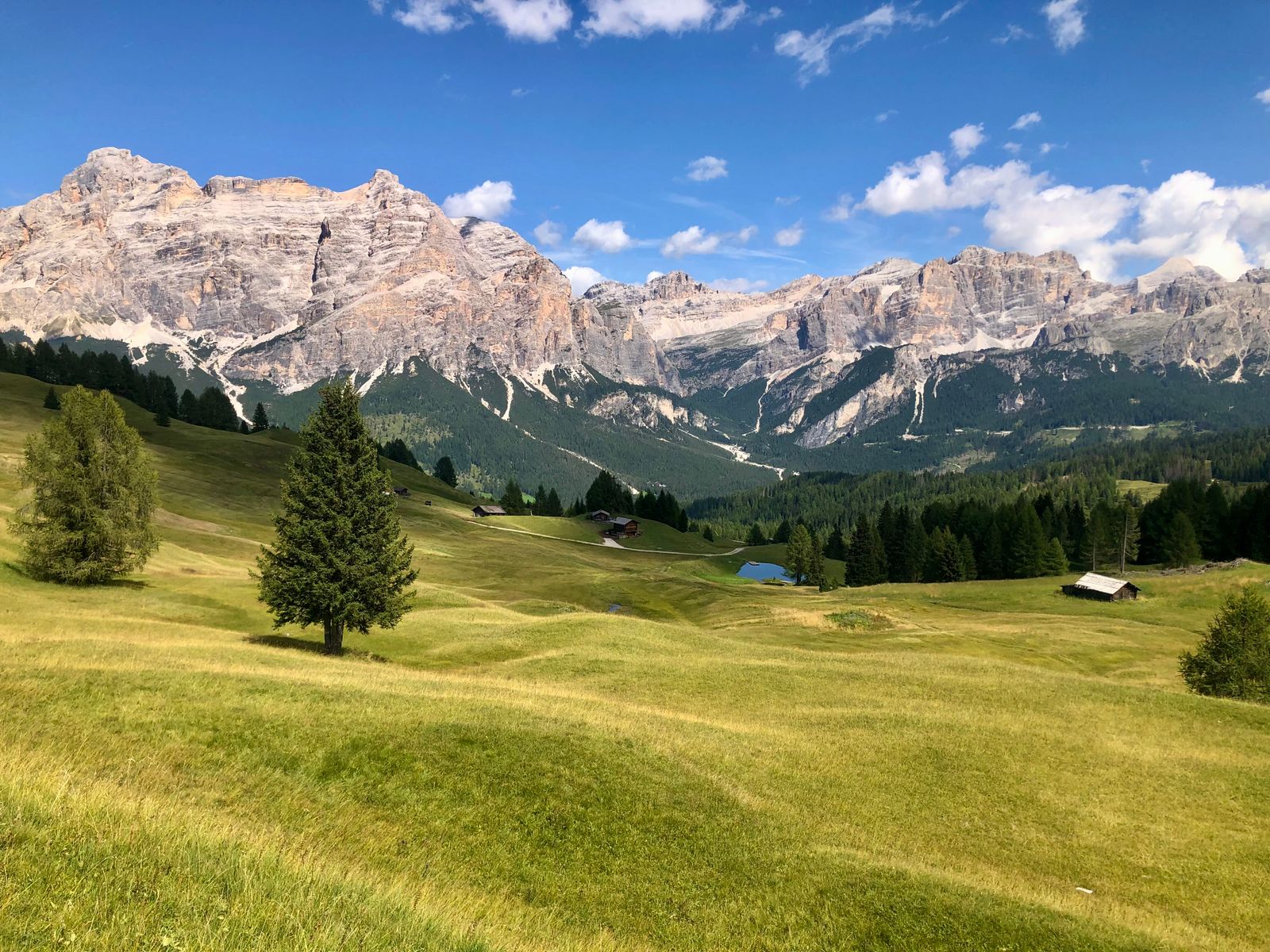
South Tyrol’s official name is Autonome Provinz Bozen – Südtirol / Provincia autonoma di Bolzano – Alto Adige. The province is part of Italy, but enjoys extensive autonomy. In the latest official language-group survey, the German-speaking group was the largest, alongside Italian and Ladin language groups.
According to official tourism figures, South Tyrol has more than 16,000 kilometres of marked hiking trails. One of the region’s special features is that within only a few hours you can move from Alpine meadows, vineyards and orchard-filled valleys to high-mountain terrain close to 4,000 metres.
In South Tyrol, German and Italian place names are both officially used. For example, Bozen = Bolzano, Meran = Merano, Brixen = Bressanone, Sterzing = Vipiteno. In Ladin-speaking areas you may encounter a third version as well, such as St. Ulrich / Ortisei / Urtijëi.
Historically part of Tyrol, but today a separate autonomous Italian province
Historical Tyrol extended much farther south than today’s South Tyrol
Trentino is now part of Italy and is rarely referred to simply as Tyrol in everyday geography, but its historical connection is strong.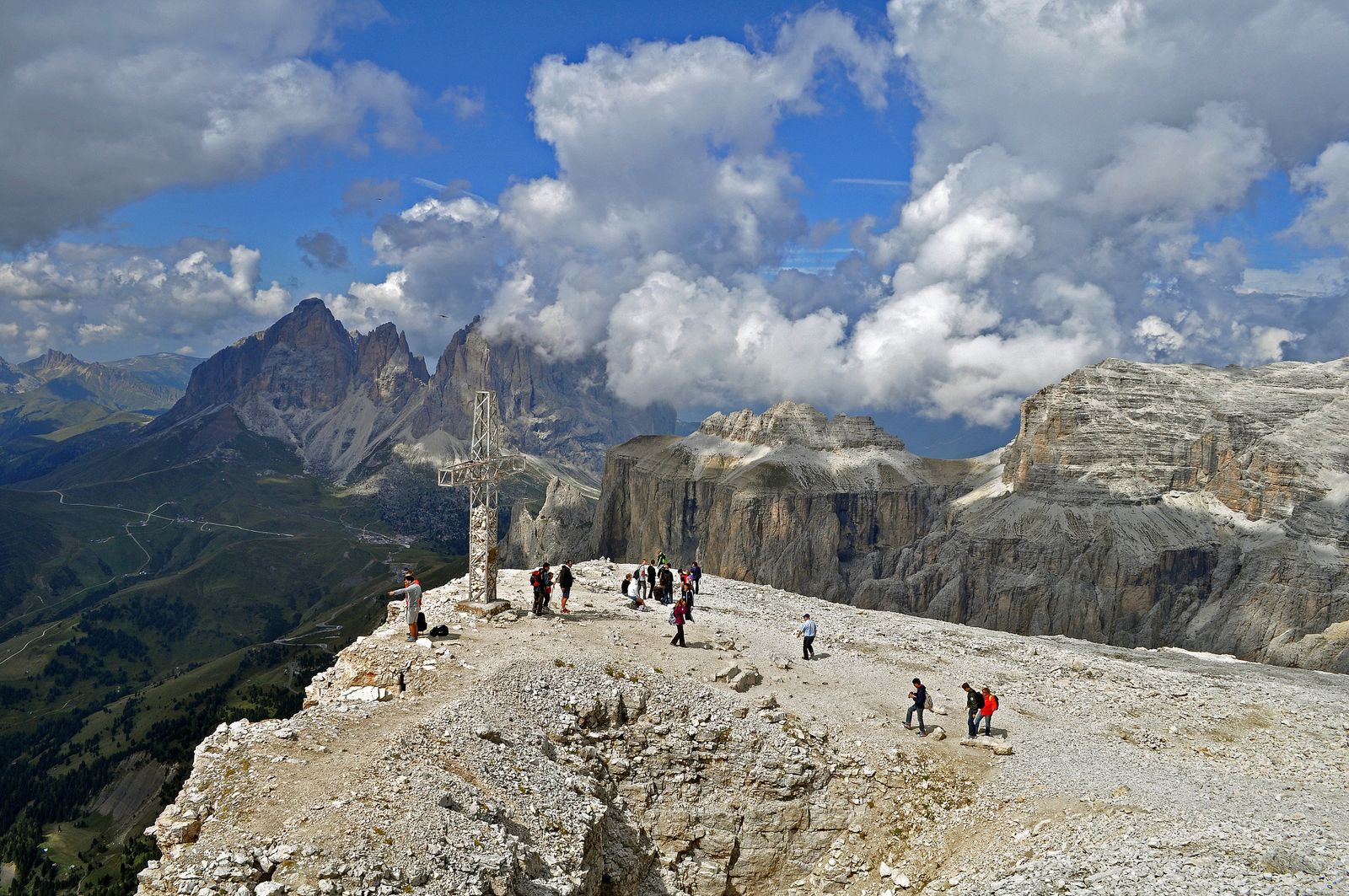
Trentino is officially the Autonomous Province of Trento. Together with South Tyrol, it forms the Italian autonomous region of Trentino–Alto Adige / Trentino–Südtirol. Tyrol, South Tyrol and Trentino are today the three member territories of the Tyrol–South Tyrol–Trentino European Region.
Trentino’s official tourism network offers everything from short family walks to multi-day high-mountain trekking. Its best-known areas include the Brenta Dolomites, Val di Fassa, Pale di San Martino and the northern Lake Garda region.
The mountain does not change when you cross the border – but the trail classification may
Austria and Italy do not use exactly the same trail classification system
This is especially important on multi-day and cross-border hikes.| Region | Typical categories | What should hikers know? |
|---|---|---|
| Tyrol – Austria | Easy Wanderweg, red medium Bergweg, black difficult Bergweg, plus Alpine Route. | Red and black are not merely painted trail markings; they can also indicate difficulty. |
| South Tyrol | Fußweg, Wanderweg, Bergweg, Alpinweg. | Do not assume that Austrian categories automatically mean exactly the same thing here. |
| Trentino – CAI / SAT | T, E, EE, EEA. | E is already hiking terrain, EE is intended for experienced hikers, while EEA may include protected routes requiring equipment. |
The differences are significant enough that the Tyrol–South Tyrol–Trentino European Region created a dedicated trail-difficulty comparison system in 2026. It places the Austrian, South Tyrolean, CAI/SAT and other Alpine classification systems side by side.
Do not look only at the colour or letter. Always check distance, elevation gain, exposed sections, protected sections, snowfields and required equipment. Trail classifications in two countries cannot necessarily be matched using colour alone.
One Alpine cultural region, but very different landscapes
It makes more sense to choose by terrain than by national border
Within historical Tyrol, just a few dozen kilometres can produce a completely different mountain character.| Region | Landscape | Typical hiking experience |
|---|---|---|
| North Tyrol | Classic high Alps, glacial valleys and limestone mountain ranges. | Hut-to-hut routes, high-mountain hiking, long valleys and summit hikes. |
| East Tyrol | Hohe Tauern, wilder valleys and large elevation differences. | Quieter, less urbanised high-mountain hiking. |
| South Tyrol | Dolomites, vineyards, apple orchards, Alpine pastures and the Ortler Alps. | Scenic trails, Waalweg paths, rifugio and hut hikes, and high routes in the Dolomites. |
| Trentino | Dolomites, forested mountain chains, high plateaus and Lake Garda. | Trekking, via ferrata, rifugio hikes and Alpine-Mediterranean combinations. |
What should you know if you want to hike on both the Austrian and Italian sides of Tyrol?
Places that look close on the map may still be far apart by road or trail
Mountain passes, ranges and valleys influence travel far more than straight-line distance.-
Check which Tyrol is meant “Tyrol” on its own usually means Austria. Südtirol / Alto Adige means Italy.
-
Watch for bilingual place names In South Tyrol, the German and Italian names may refer to the same town. Navigation systems may use either.
-
Do not judge trail difficulty from colour alone Tyrol, South Tyrol and Trentino use different classification systems.
-
Download offline maps On border routes or high-mountain hikes, mobile coverage can change quickly.
-
Check hut or rifugio opening times Many high-mountain huts operate seasonally, and weather can affect opening periods.
-
Expect snow at altitude even in summer In early June, and again in autumn, snowfields may remain on north-facing slopes and high passes.
-
Use local mountain weather forecasts In the Alps, conditions can differ significantly between neighbouring valleys. A local mountain forecast is more useful than a broad national forecast.
-
Do not let the political border become your hiking border Many trails, long-distance routes and mountain ranges naturally cross between Austria and Italy.
Tyrol is not simply a geographical name within one country. The modern federal state of Tyrol is in Austria, while South Tyrol and Trentino are in Italy, but historically, culturally and from a hiking perspective they form one connected Alpine region. Crossing the Brenner Pass changes the country, but the Tyrolean mountain character does not suddenly disappear.
“Tyrol must be either in Austria or in Italy.”
The modern federal state called Tyrol is indeed in Austria, but the southern parts of historical Tyrol are now in Italy. That is why South Tyrol exists, alongside historically Tyrolean Trentino.
Tyrol = Austria · South Tyrol = Italy · historical Tyrol = both countries
For hikers, what is even more interesting is that both sides of the border form one continuous Alpine world: from the glaciers of the Ötztal through the South Tyrolean Dolomites to the Brenta mountains and Lake Garda. On the map you see a national border; in the mountains you often see the continuation of the same region.
Sources and background
The geographical, historical and hiking-trail information reflects the situation in September 2026 and is based on official Austrian, South Tyrolean, Trentino and Euregio sources.
- State of Tyrol – the federal state of Tyrol and the historical Tyrol region
- Autonomous Province of Bolzano–South Tyrol – history of South Tyrol’s autonomy
- Autonomous Province of Bolzano–South Tyrol – German, Italian and Ladin language groups
- Euregio Tyrol–South Tyrol–Trentino – two countries, three regions
- Euregio – historical links between Tyrol, South Tyrol and Trentino
- Tirol Werbung – hiking in Tyrol
- Tirol Werbung – 24,000 km of hiking trails and Tyrol mountain facts
- South Tyrol – more than 16,000 km of marked hiking trails
- South Tyrol – hiking in the South Tyrolean Dolomites
- Visit Trentino – hiking and trekking in Trentino
- Visit Trentino – outdoor activities and mountain hiking
- Euregio DIGIWAY – comparison of trail classifications in Tyrol, South Tyrol and Trentino
- SAT – Trentino and CAI hiking difficulty categories
- Pexels – Wolfgang Weiser: hikers in Tyrol
- Pexels – Ismaele Rigon: Dolomites in South Tyrol
- Pexels – Michael Obstoj: hikers in the Dolomites