
Google Maps or Waze? Which Navigation App Should You Use?
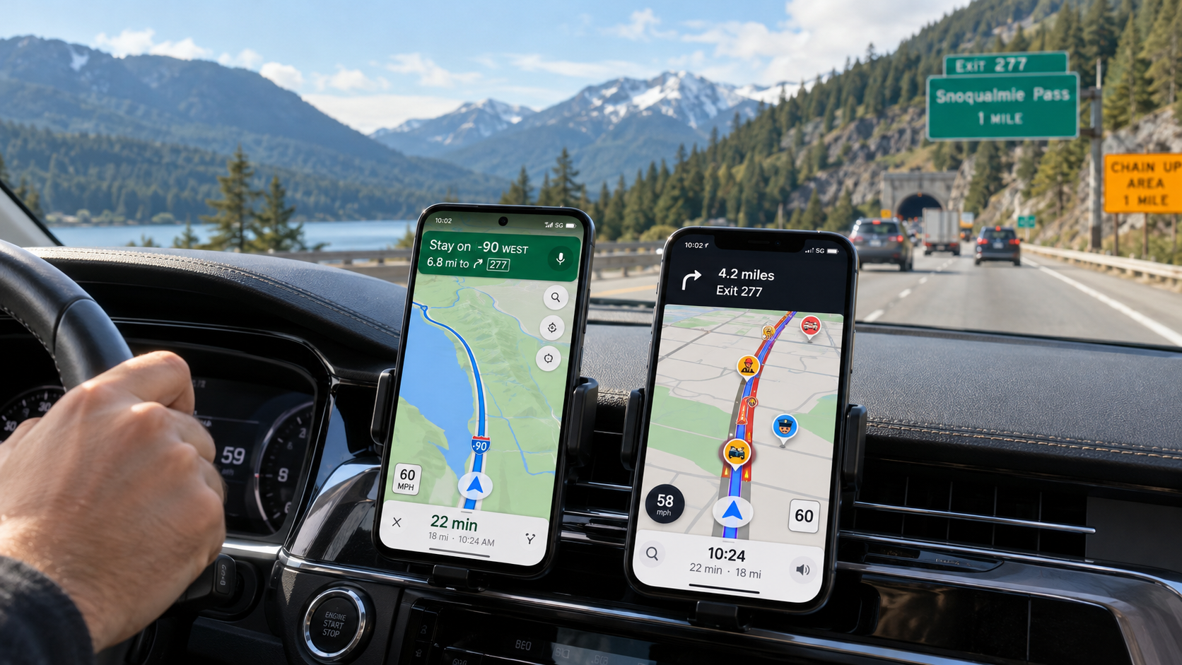
Whether we’re driving to work, heading out for a weekend excursion, setting off on a long road trip or travelling to a mountain trailhead, the same two apps often come to mind: Google Maps or Waze. Both can plan routes, monitor traffic, estimate journey times and suggest alternatives along the way. But they were designed with different priorities. Waze focuses primarily on driving, community reports and real-time road conditions. Google Maps is a broader mapping platform: alongside driving directions, it helps you discover places and car parks, use public transport, plan walking routes and explore a destination in advance. But which app gets you there faster? Which works better abroad? Which can navigate without mobile data? And which should you use to reach a forest car park or a remote hiking trailhead?
Comprehensive route planning, place search, multiple transport modes and offline driving maps.
Driving navigation, live traffic data, community hazard reports and dynamic routing.
Within an area downloaded in advance, Google Maps can provide driving directions without an internet connection.
Finding the mountain or attraction is not enough: the actual destination for your car should be a suitable parking area.
- For driving in cities and on main roads: Waze Especially useful if you value reports of damaged roads, congestion, closures and other traffic incidents.
- For planning excursions: Google Maps Places, car parks, reviews, photos, satellite imagery and Street View in one app.
- For areas with poor mobile coverage: Google Maps With certain limitations, maps downloaded in advance can support offline driving navigation. Waze needs an active data connection.
- For toll-road vignettes: check separately A navigation app is no substitute for checking your toll entitlement and intended route.
- For hiking trips: navigate to the car park Do not automatically enter the mountain summit, lake or hike name as your driving destination.
Google Maps or Waze: two different approaches to navigation
One is a comprehensive mapping service; the other focuses on driving navigation
Waze and Google Maps are both owned by Google, but they offer different user experiences.Choosing between the two apps is not as simple as saying one is more accurate and the other is faster. Both are modern route-planning systems that use traffic data and can adjust your route. The real difference is which tasks each service prioritises.
Particularly well suited to planning an entire journey and exploring your surroundings.
- Driving directions
- Walking and cycling routes
- Public transport connections
- Places, photos and reviews
- Satellite imagery and Street View
- Downloadable offline maps
Focuses on constantly changing traffic conditions while you drive.
- Car and motorcycle navigation
- Community traffic reports
- Congestion and hazard alerts
- Dynamic rerouting
- Planned drives
- Toll-road and vignette settings
Google Maps can also display accidents, road closures and other traffic incidents. And Waze is more than an alert system: it plans routes, finds parking and estimates arrival times. The two services therefore overlap considerably.
You do not necessarily have to choose between the two apps. Google Maps can help you find and inspect your destination and car park beforehand, while Waze can guide you along the driving route.
Traffic jams, accidents and closures: when might Waze have the edge?
Community traffic information is one of Waze’s greatest strengths
Driver reports complement automatically processed traffic data.
Waze users can report various road incidents on the map, including accidents, traffic jams, obstacles, roadworks, potholes and certain types of enforcement activity. The app combines these reports with other traffic information.
Google Maps also displays traffic incidents, and according to Google’s official information, community reports from Maps and Waze can complement each other in certain situations. It is therefore incorrect to claim that Google Maps only shows traffic colours while Waze alone reports accidents.
No. The two apps may suggest different routes and arrival times for the same journey. Current traffic, map data, routing preferences and the timing of recalculations all influence the result. There is no universally proven winner for every route.
The Google Maps advantage: travel planning goes beyond finding a route
Car parks, restaurants, attractions, photos and reviews
Google Maps helps you choose a destination as well as find your way there.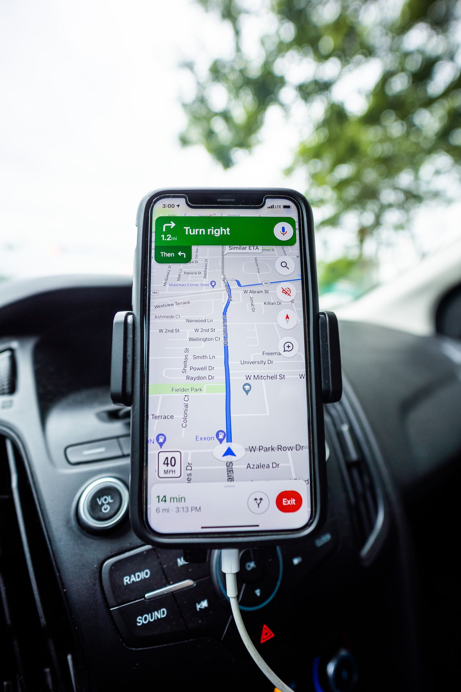
When visiting a new outdoor destination, we may not yet know exactly where we need to arrive. A lake might have several car parks nearby, or a mountain viewpoint might be accessible from different directions.
Google Maps lets you search for additional places near your destination and view available photos, reviews, opening hours and related information. Satellite imagery and Street View can be particularly useful for checking roads, entrances and parking areas in advance.
Satellite imagery and Street View are not live camera feeds. A road, car park or entrance may have changed since the images were taken. User photos and reviews are also not official confirmation of accessibility.
Google Maps is more flexible if you want to make several stops
A weekend excursion rarely involves just one destination
Car park, attraction, lunch, accommodation: being able to add stops can make a real difference.On a longer trip, you may want to include several towns, viewpoints, car parks or other locations in a single route. How flexibly the navigation app handles multiple stops can make a significant difference.
| Feature | Google Maps | Waze |
|---|---|---|
| Multiple stops | Up to nine destinations, including the final destination. | One intermediate stop within a route. |
| Stop order | Can be rearranged manually. | More limited multi-stop planning. |
| Longer round trip | More practical for planning the journey in advance. | Better suited to a series of separate journeys. |
If you are driving to a trailhead in the morning, visiting a viewpoint on the way home and stopping at a restaurant afterwards, Google Maps may be more convenient for reviewing the entire trip in advance.
Manually rearranging stops is not the same as automatically calculating the mathematically optimal stop order. With several destinations, check whether your chosen sequence makes sense.
Google Maps offers a clear advantage when you have no mobile internet
Downloaded maps can be especially valuable in the mountains, abroad or where mobile coverage is poor
GPS positioning and mobile internet are not the same thing.
A phone may still determine its position using satellite navigation without mobile internet. However, navigation also requires map data, routing information and, for some services, a connection to a server.
Google Maps lets you download map areas in advance. If the driving route lies within the downloaded area, the app can provide directions without an internet connection.
Offline mode does not provide live traffic information, and alternative driving routes do not work in the same way as they do online. Walking, cycling and public transport directions are not available offline in the same way either.
Waze, by contrast, is designed primarily for continuous data connectivity. According to the official Waze Help documentation, finding a new route and navigating independently without internet access are not guaranteed. Some previously loaded information may remain available during a temporary outage, but this should not be treated as a planned offline solution.
| Offline feature | Google Maps | Waze |
|---|---|---|
| Download a map area | Yes, in supported areas | No equivalent feature |
| Offline driving navigation | Yes, within a properly downloaded area | Not guaranteed |
| Live traffic while offline | No | No |
| Finding a new route offline | Limited driving functionality | Not reliable |
Google Maps app → profile picture → Offline maps → Select your own map → choose the area → Download. Menu labels may vary slightly depending on the app language and version.
Toll roads: navigation is no substitute for checking your road-use vignette
Waze’s vignette settings are useful, but they offer no legal guarantee
Checking toll-road requirements is particularly important in Hungary and neighbouring countries.Both Google Maps and Waze let you choose to avoid toll roads. This is useful, but neither app is infallible.
Waze offers a dedicated feature for managing road passes and vignettes. In supported countries, you can specify which vignettes or road-use permits you hold. The exact list of supported countries and passes may change over time.
Waze can also show estimated toll prices for certain routes. According to its official documentation, these figures are estimates and do not replace the actual prices set by toll-road operators.
Selecting ‘avoid toll roads’ does not guarantee that your route will exclude every toll section in all circumstances. Waze itself notes that it may still suggest toll roads on certain routes despite this setting. Before departure, check the current toll rules with the relevant official operator.
The shortest or fastest route is not necessarily the best one
Saving a few minutes is not always worth taking narrow back roads
Navigation estimates cannot accurately assess the actual road condition in every situation.A routing algorithm works with the road-network and traffic information available to it. If it suggests a detour around congestion, that route may genuinely be faster. But the alternative could be narrow, winding, steep, in poor condition or unsuitable for other reasons.
This matters especially on mountain and rural roads. A forest-edge or agricultural road estimated to save a few minutes may not be suitable for an ordinary passenger car.
If the app directs you onto a no-entry road, a closed or private road, or one that is clearly unsuitable, do not follow it automatically. Traffic laws, on-site signs and actual road conditions take precedence over navigation recommendations.
Don’t navigate to the mountain: find where you can actually park
The trailhead and the driving destination are not necessarily the same place
An attraction’s name does not automatically lead you to a safe and legally accessible driving route.
This is one of the most common navigation problems on hiking trips. We enter the name of a summit, waterfall, mountain lake or viewpoint into a driving app and simply follow the suggested route.
But the final approach to an attraction might be a forest path, a service road requiring a permit, a gated road or a route that is simply impassable by an ordinary car.
So the key question is not how quickly Waze or Google Maps can take you to the mountain, but exactly where you should arrive by car and where the walking route actually begins.
Enter the parking coordinates from the hike description into Google Maps or Waze. Keep the hiking route itself, the walking sections and the GPX data separate. This prevents driving and walking navigation from getting mixed up.
Walking, cycling or public transport: Google Maps is the better choice
Waze was built for driving navigation
If you combine different forms of transport, Google Maps provides a wider range of services.Not every excursion begins by car. You might take a train to a town, continue by bus and then walk to the trailhead. On another trip, you might reach the destination by bicycle or combine several transport modes.
Where supported, Google Maps can also find walking, cycling and public transport routes. Waze is designed primarily for cars and motorcycles.
| Transport mode | Google Maps | Waze |
|---|---|---|
| Car | Yes | Yes |
| Motorcycle | Features vary by region | Supported |
| Walking route | Yes | Not designed for this |
| Cycling | In supported areas | No |
| Public transport | Depending on data availability | No |
Google Maps walking directions can be useful in towns, but on forest trails, high-mountain routes or marked hiking paths they may not provide enough information about elevation gain, difficulty, trail markings and terrain. Use a dedicated hiking map for the actual walking route.
When should you leave to arrive on time?
Estimated travel time depends on more than distance
The day of the week, departure time and typical traffic can matter more than a few kilometres’ difference.If you need to reach an excursion or event at a particular time, consider not just the current route but also your planned departure or arrival time.
Google Maps can show journey-time estimates that take typical traffic conditions into account when planning ahead. Waze also lets you schedule a drive and, with the appropriate notification settings, can alert you when it is time to leave.
Navigation travel times are estimates. An accident, unexpected congestion or lack of available parking cannot be ruled out. On mountain trips, barriers and weather-related restrictions can be especially important.
Navigation assists the driver; it does not make decisions for them
Set your route before you leave
Keep your attention on the road while driving.Both apps offer voice directions and alerts while driving, although features may depend on your device and software version. Properly configured voice navigation can reduce the need to look at the screen.
Changing a route, searching for a new destination or submitting a report can be distracting. Do these things only when safely stopped or as a passenger.
Google Maps or Waze: the right choice depends on your journey
A practical guide for different travel situations
This is not an absolute ranking, but a practical recommendation based on each app’s features.| Travel situation | Recommended app | Why? |
|---|---|---|
| Everyday driving | Waze or Google Maps | Both use live traffic data for navigation, with community reports being particularly prominent in Waze. |
| Exploring an unfamiliar city | Google Maps | Places, photos, reviews and transport options. |
| Long motorway journey | Both | Traffic, alternative routes, planned arrival times and toll settings. |
| Remote mountain drive | Google Maps + Waze | Checking the destination ahead of time, offline maps and live driving navigation. |
| Travelling without mobile internet | Google Maps | Limited offline driving navigation with maps downloaded in advance. |
| Excursion with several stops | Google Maps | More flexible stop management. |
| Driving on a route with frequent incidents | Waze | An interface built around community reports and incidents encountered while driving. |
| Combining train, bus and walking | Google Maps | Support for multiple transport modes, depending on data availability. |
| Finding parking at a trailhead | Google Maps, then either driving app | Identifying parking, viewing satellite imagery and checking the access road. |
For a hiking trip by car, the two apps can work especially well together. First use Google Maps to inspect the actual car park, its surroundings and the access road. Then choose Waze for the drive or continue using Google Maps. Download maps beforehand if you expect poor coverage.
Key questions about using Google Maps and Waze
The question is not whether Google Maps or Waze is better, but what you need it for
For planning the entire journey
Google Maps is particularly useful for finding places and car parks, checking satellite imagery, planning multi-stop journeys and using downloaded offline driving maps.
For constantly changing driving conditions
Waze focuses on live traffic, community reports, hazard alerts and dynamic driving-route planning. It needs an active mobile data connection for full functionality.
The precise trailhead matters more than which navigation app you choose
First identify a car park you can actually use and a public road that provides access. Then choose an app for the drive. Once you reach the mountain, hiking trails or GPX routes, switch to navigation tools designed specifically for outdoor use.



Sources and further reading
This article compares the documented features of Google Maps and Waze, and their practical differences for driving, excursions and getting to hiking trailheads. Features, interfaces and country-specific availability may change over time.
- Google Maps Help – Offline maps and navigation
- Google Maps Help – Directions, routes and stops
- Google Maps Help – Street View
- Waze Help – How Waze works and internet requirements
- Waze Help – Adding a stop
- Waze Help – Planning a drive
- Waze Help – Avoiding tolls, motorways and ferries
- Waze Help – Passes and vignettes
- Waze Help – Toll price estimates
- Google Blog – Traffic reporting in Google Maps and Waze
- Waze – Official FAQ
Photo credits and image sources:
- Pexels – Tima Miroshnichenko: in-car smartphone GPS navigation, featured image
- Pexels – luigi alvarez: traffic congestion and road traffic
- Pexels – Caleb Oquendo: smartphone map navigation
- Pexels – OFFPAD PRODUCTIONS: car navigation in rainy conditions
- Pexels – Soran Ali: cars on a wooded mountain road