
What Is MTSZ? The Hungarian Hiking Association, Its Trails, Apps and Websites
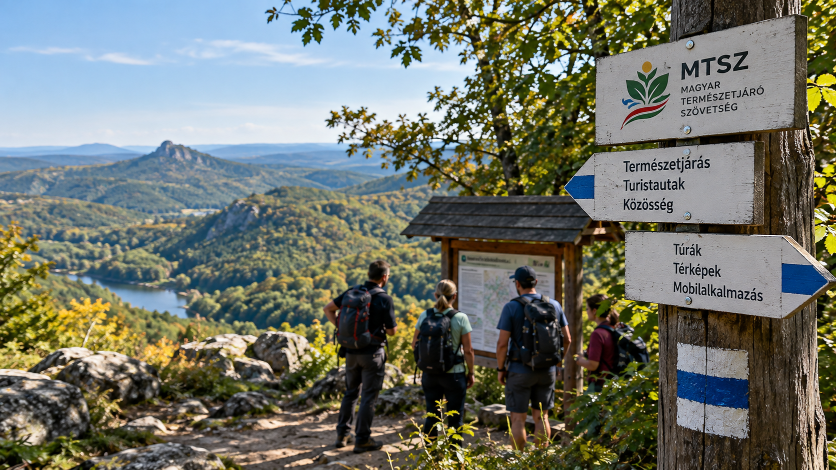
If you hike on marked trails in Hungary, plan a Blue Trail section, look for an official hiking route, follow painted trail markers or use the Természetjáró app, there is a good chance that you are already benefiting from the work of the Hungarian Hiking Association, known by its Hungarian abbreviation MTSZ, even if you have never dealt directly with the organisation itself. MTSZ is not simply a hiking club, and it is not primarily a commercial operator running guided weekend tours. It is a nationwide professional umbrella organisation involved in coordinating and recording Hungary’s marked pedestrian hiking trail network, renewing trail markings, operating the official KÉKTÚRA system, supporting member organisations, providing hiking-related training, managing digital mapping systems, publishing hiking recommendations and producing outdoor publications. It also has its own digital ecosystem: mtsz.org, Természetjáró, Kéktúra, Turista Magazin, the MTSZ Map Portal and Turistashop all serve different purposes, while two separate mobile applications, the Természetjáró app and the official KÉKTÚRA app, support hikers in different ways.
MTSZ members are hiking and outdoor civil organisations; individuals cannot join the federation directly.
MTSZ plays a major coordinating role in maintaining records of Hungary’s marked pedestrian hiking trail network and renewing trail markings.
The official systems of the National Blue Trail, the Rockenbauer Pál South Transdanubian Blue Trail and the Great Plain Blue Trail are also operated by MTSZ.
Természetjáró is a general hiking planner and digital guide, while the KÉKTÚRA app is the dedicated official app for the Blue Trail system.
- MTSZ = Hungarian Hiking Association A nationwide, public-benefit civil umbrella organisation that plays an important role in the professional background of organised and individual hiking in Hungary.
- It is not primarily a guided-tour operator Regular group hikes are usually organised by MTSZ member organisations and local hiking clubs.
- It has an important role in the trail network Trail records, route coordination, trail marking, route changes and problem reporting all form part of its wider system.
- It is the official operator of KÉKTÚRA The routes, checkpoints, rules and official digital data for the OKT, RPDDK and AK come from the MTSZ system.
- Természetjáró and KÉKTÚRA are different apps The first is a general hiking planner, while the second is the official app specifically designed for the three Blue Trails.
Not a tour company, but one of the central professional organisations behind hiking in Hungary
The Hungarian Hiking Association is a nationwide civil umbrella organisation
Today’s MTSZ builds on more than a century of organised hiking tradition in Hungary.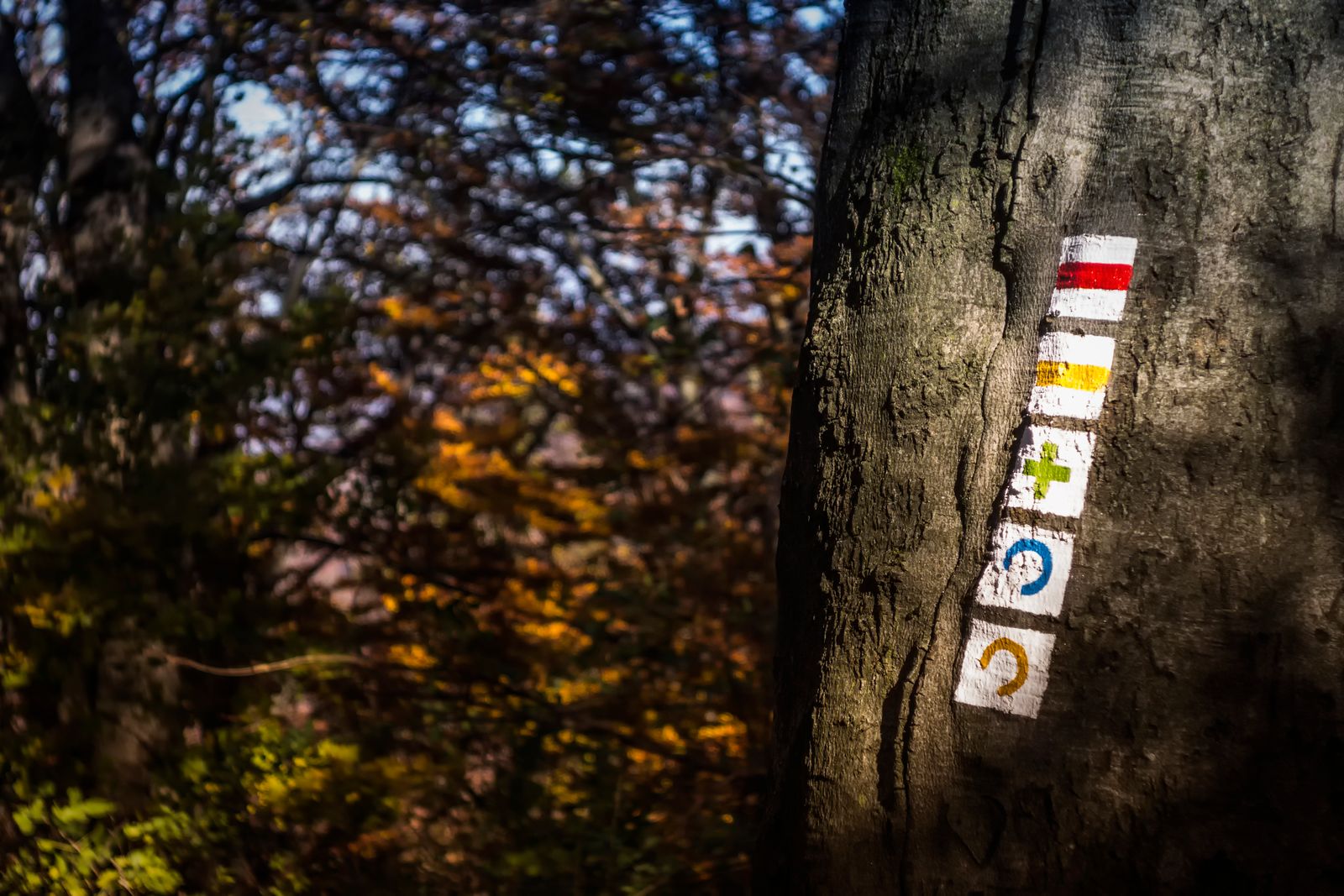
The history of organised hiking in Hungary reaches back to the 19th century. The first Hungarian tourist organisation, the Hungarian Carpathian Association, was founded in 1873, followed by the Hungarian Tourist Federation in 1913. The present organisation is the legal successor of the Hungarian Nature Friends Association established in 1987, and has used the name Magyar Természetjáró Szövetség since 2012.
MTSZ is a nationwide, public-benefit civil organisation. Its major objectives include developing hiking, active tourism and ecotourism, promoting outdoor recreation, encouraging respect for natural values and professionally supporting the basic infrastructure used by hikers.
MTSZ and a local hiking club are not the same thing. MTSZ is the nationwide umbrella organisation; specific, regular weekend group hikes are often organised by local or specialist organisations within the MTSZ network.
Hiking trails, trail markings, KÉKTÚRA, mapping data, training and outdoor services
The trail marker you follow in the forest is part of a nationwide network
Coordinating the pedestrian hiking trail network and renewing its markings are among MTSZ’s core professional activities.Hungary’s marked pedestrian hiking trail network was not created by a single organisation in one project. It developed through the work of generations of hiking associations and volunteers. MTSZ plays a major professional role in the national coordination, recording and renewal of trail markings across this network.
The association maintains official hiking trail data in a geographic information system and also supports trail-mark renewal through grant programmes. Field marking work may be carried out by hiking organisations, successful applicants working with appropriately trained professionals, and MTSZ field staff.
Not every problem that appears on a hiking trail is directly the responsibility of MTSZ. Trail markings and professional coordination of the route network fall within the MTSZ system, but for example restoring a physically blocked area is usually the responsibility of the landowner or land manager. For this reason, a serious trail problem may need to be reported both to MTSZ and to the relevant land manager.
MTSZ is the official operator of the National Blue Circle
Three long-distance Blue Trails together form the National Blue Circle.
MTSZ is the official operator of Hungary’s KÉKTÚRA system. It includes the National Blue Trail, the Rockenbauer Pál South Transdanubian Blue Trail and the Great Plain Blue Trail. Together, the three routes form the National Blue Circle.
The association manages and publishes the current official routes, section data, stamp locations, completion rules and much of the official information connected to the Blue Trail system. Validation of completed hikes and the operation of the official badge system are also connected to this work.
MTSZ is not a general tour operator: a hiking route, a published route recommendation and an organised group hike are three different things
Most regular weekend guided hikes are not organised by the central MTSZ office
If you want to hike regularly with a group, the programmes of member organisations are usually the best place to look.According to MTSZ’s own information, the organisation does not generally organise regular public guided hikes or collective Blue Trail completions. A large proportion of community hiking programmes are organised by member associations, regional organisations and specialist hiking sections.
This distinction matters because it is easy to confuse the role of MTSZ with that of a local hiking club. The national federation primarily provides professional frameworks, networks, training, infrastructure, digital data and communication platforms, while local communities can organise specific hikes, camps and club programmes.
| Activity | Usually handled by |
|---|---|
| Weekly or monthly group hike | MTSZ member organisations, local associations and hiking sections. |
| National hiking trail network coordination | MTSZ. |
| Publishing edited hiking recommendations | The Természetjáró editorial team and official partners. |
| Planning your own route | The user, through the Természetjáró or KÉKTÚRA route planner. |
| Managing the official Blue Trail route | MTSZ. |
| Renewing hiking trail markings | Trained professionals, civil organisations, grant recipients and field staff under MTSZ coordination. |
MTSZ also has its own major national events
These include one of Hungary’s best-known performance hikes and a nationwide Blue Trail community event.Not only hiking: routes, associations, trail marking, training and outdoor infrastructure
One of the most visible forms of support is the renewal of hiking trail markings
MTSZ also uses grant programmes to support maintenance of Hungary’s marked trail network.Painted trail markings fade over time, trees grow, objects carrying markings may disappear, and individual routes may need to be changed. The hiking trail network therefore requires continuous maintenance.
MTSZ trail-marking grants can provide opportunities for civil organisations and qualifying Hungarian businesses that undertake the renewal of particular trail sections under the professional supervision of a trained trail-marking leader.
MTSZ also trains hike leaders and trail-marking professionals
Outdoor leadership requires more than simply knowing the route.The MTSZ training system includes professional education and qualifications connected to hiking. Topics can range from navigation and route planning through nature knowledge, safety and group leadership to the professional management of hiking trails and trail markings.
The role of the trail-marking leader is particularly important. Volunteers may assist with trail-marking work, but independent trail-marking work or a trail-marking team must be led by a professional with qualifications accepted by MTSZ.
There is not just one website: different platforms serve the organisation, route planning, the Blue Trail, mapping data and outdoor publishing
The main digital platforms in the MTSZ ecosystem
The right platform depends on whether you are looking for organisational information, a hiking idea, official Blue Trail data or detailed mapping information.| Platform | What is it for? | When should you use it? |
|---|---|---|
| mtsz.org | The central organisational and professional website of MTSZ. | News, grants, training, regulations, hiking trails, member organisations and MTSZ information. |
| termeszetjaro.hu | Interactive digital hiking guide and route planner. | Finding ready-made hikes, planning routes, maps, sights and accommodation. |
| kektura.hu | The official website of the KÉKTÚRA system. | OKT, RPDDK, AK, sections, stamp locations, GPX, rules and current official routes. |
| turistaterkepek.hu | The MTSZ GIS and map portal. | Official trail network, map registry, Blue Circle data, signposts and more technical mapping information. |
| turistamagazin.hu | The online platform of the MTSZ outdoor magazine. | Hiking ideas, nature, places, news and educational articles. |
| turistashop.hu | The official MTSZ online shop. | Blue Trail validation booklets, maps, guidebooks, Turista Magazin and hiking products. |
| gerecse50.hu | The official website of the Gerecse 50 event. | Registration, distances, event rules and practical information. |
| Blue Trail Day | The online platform for the nationwide Kéktúrázás Napja event. | Information and sections for the current year’s community Blue Trail event. |
| Természetjáró Card | Information about the TEKA discount system. | Checking current participating businesses and discounts. |
They are designed for different purposes. Természetjáró is primarily the hiker-facing interface: you search for hikes, plan routes and navigate. The Map Portal approaches the system from the official trail-data and GIS side, so it can also be useful for more technical route information.
Hungary’s digital hiking guide and general route planner
More than just a map: ready-made hikes, route planning, points of interest and navigation in one system
Available both on the web and as a mobile application.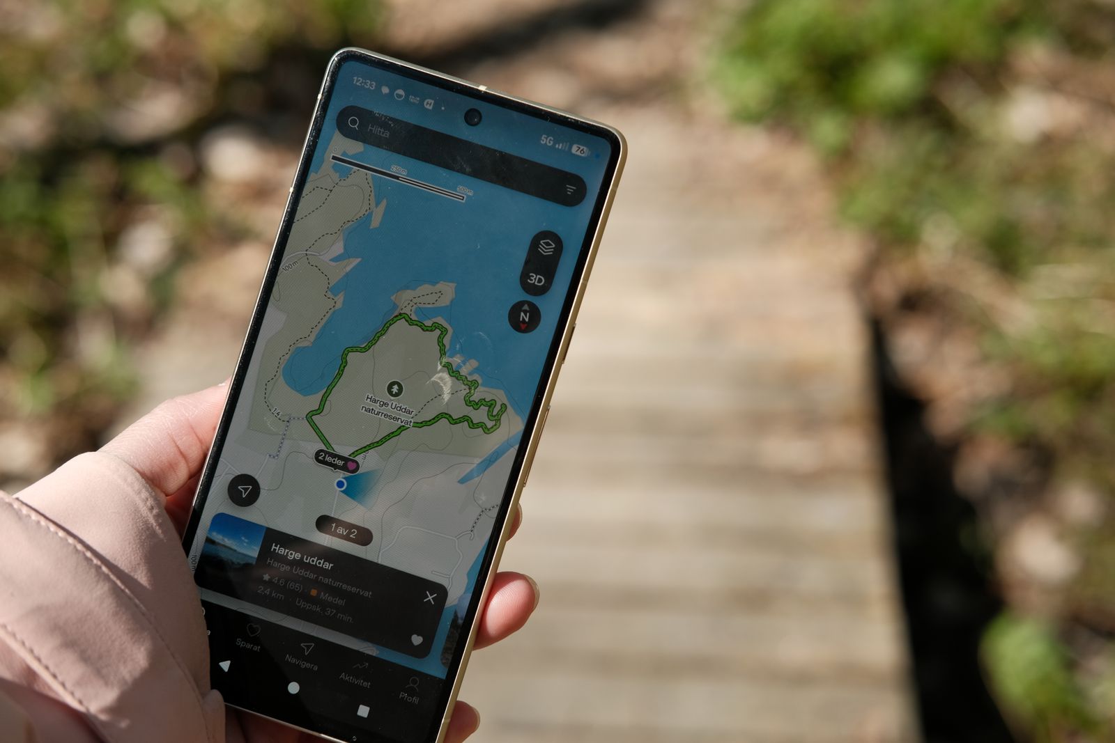
Természetjáró is an online mapping-based outdoor guide and route-planning system published by MTSZ. The website and mobile app connect to the same database, so content planned on a computer can also be used on a phone.
The system is not designed only for hikers. It also includes walking, cycling, trail-running and paddling content, along with ready-made route recommendations, sights, mountain huts and other accommodation.
The basic content, route recommendations and route planner in Természetjáró can also be used for free. Some additional features require a Pro or Pro+ subscription. These can include full access to certain offline features and selected premium map services.
The publisher of Természetjáró is the Hungarian Hiking Association, while Hungarian hikes, points of interest and domestic content are managed within the MTSZ system. The application’s mapping and technical platform is based on Outdooractive, which is licensed by MTSZ.
Designed specifically for completing the OKT, RPDDK and Great Plain Blue Trail
The KÉKTÚRA app is not simply a renamed version of Természetjáró
It is a separate MTSZ application optimised specifically for the three official Blue Trails.The KÉKTÚRA official app is a dedicated Blue Trail application from the Hungarian Hiking Association. It brings together the current official data for the National Blue Trail, the Rockenbauer Pál South Transdanubian Blue Trail and the Great Plain Blue Trail.
Its most important special feature is that it does more than provide maps and navigation: it also offers officially accepted digital stamping. That makes it fundamentally different from a general navigation or hiking-planning application.
The three Blue Trails can also be found in Természetjáró, but if you are specifically completing a Blue Trail, tracking stamps, monitoring your progress and want features designed specifically for the KÉKTÚRA system, the official KÉKTÚRA app is the more targeted tool.
Individuals do not join MTSZ directly
If you want to hike as part of a community, an MTSZ member organisation can be your entry point
The federation’s members are civil hiking organisations, not individual hikers.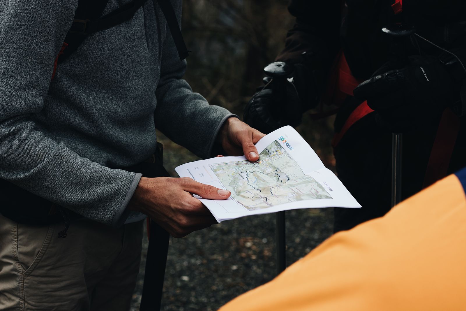
The Hungarian Hiking Association is a nationwide umbrella organisation, so individuals cannot become direct MTSZ members. Anyone who wants to join an organised hiking community should look for an MTSZ member organisation or affiliated association.
Member organisations include regional hiking associations, workplace or institutional hiking sections, specialist outdoor communities and other civil hiking organisations. Their programmes and membership fees vary from one organisation to another.
The MTSZ ecosystem also includes the Természetjáró Card, or TEKA discount system. Participating locations may offer discounts on accommodation, admission, transport or other outdoor-related services. Participating businesses and available discounts can change, so the current TEKA database should always be checked.
Which MTSZ website or application should you use?
You do not need to use all of them: each platform serves a different purpose
For the most common situations, these are the simplest choices.| What do you want to do? | Use this | Why? |
|---|---|---|
| Find a ready-made hike | Természetjáró | Edited hiking recommendations, maps, distance, elevation and sights. |
| Plan my own hike | Természetjáró | A general route planner based on marked hiking trails. |
| Complete a Blue Trail | Official KÉKTÚRA app | Official routes, stamps, completion tracking and digital stamping. |
| Check Blue Trail rules | kektura.hu | The official web database for all three Blue Trails. |
| Download GPX for a Blue Trail section | kektura.hu | The current official Blue Trail route can be downloaded. |
| Report a missing trail marker | MTSZ reporting system or KÉKTÚRA app | Problems can be reported with a photo and precise location. |
| View official hiking trail data | MTSZ Map Portal | The GIS registry of the hiking trail network. |
| Read hiking articles and ideas | Turista Magazin | Hiking, places, nature, news and educational content. |
| Buy a Blue Trail validation booklet | Turistashop | The official MTSZ online store. |
| Join community hikes | MTSZ member organisation | Regular guided hikes are usually organised by local associations. |
| Take part in Gerecse 50 | gerecse50.hu | The official event website. |
| Find training or trail-marking information | mtsz.org | Training, grants and professional information. |
Almost every hiker in Hungary encounters the work of MTSZ, even if they do not realise it
Hiking routes, trail markings and KÉKTÚRA
At national level, MTSZ coordinates many professional tasks connected to the marked pedestrian hiking trail network, supports the renewal of trail markings and operates the official National Blue Circle system. When you follow a blue, red, yellow or green hiking marker, this background system helps keep the route network usable and understandable.
Természetjáró, KÉKTÚRA app, Kéktúra and the Map Portal
Természetjáró is the general hiking search and route-planning platform. The KÉKTÚRA app is the specialised application for the three Blue Trail hiking movements and supports digital stamping. kektura.hu is the official web-based Blue Trail database, while the Map Portal provides a more technical GIS view of the hiking trail network.
Behind MTSZ is a network of associations, hike leaders, trail-marking professionals and hikers
If you are looking for regular community hikes, the central MTSZ office is not necessarily the best first stop. A local member organisation is usually more appropriate. If, however, you need official hiking trail data, Blue Trail information, route planning, trail-marking guidance, professional training or reliable hiking information, the MTSZ ecosystem is one of the most important Hungarian starting points.

Sources and background
MTSZ digital services, application features, grant programmes, discounts and individual organisational services may change over time. This article was prepared using the official platforms of the Hungarian Hiking Association and current descriptions of its digital services and applications.
- Hungarian Hiking Association – official website
- MTSZ – Frequently Asked Questions
- MTSZ – History and present
- Természetjáró – official web route planner and outdoor guide
- Természetjáró – mobile application
- Természetjáró app – Frequently Asked Questions
- KÉKTÚRA – official website
- KÉKTÚRA official app – Google Play
- KÉKTÚRA official app – Apple App Store
- MTSZ Map Portal
- Turista Magazin
- Turistashop
- Gerecse 50
- Kéktúrázás Napja – Blue Trail Day
Photos used in the article:
- Pexels – musicFactory lehmannsound: hiking trail markers near Pilisszentkereszt
- Wikimedia Commons – National Blue Circle information board and National Blue Trail checkpoint, Cserhátsurány
- Wikimedia Commons – Rockenbauer Pál South Transdanubian Blue Trail checkpoint, Kisújbánya
- Wikimedia Commons – Great Plain Blue Trail checkpoint, Istvántanya
- Pexels – Jenny Tran: using a mobile hiking map outdoors
- Pexels – Maël BALLAND: planning a hike together