GPS, Galileo and GNSS for hikers: what matters in Europe?
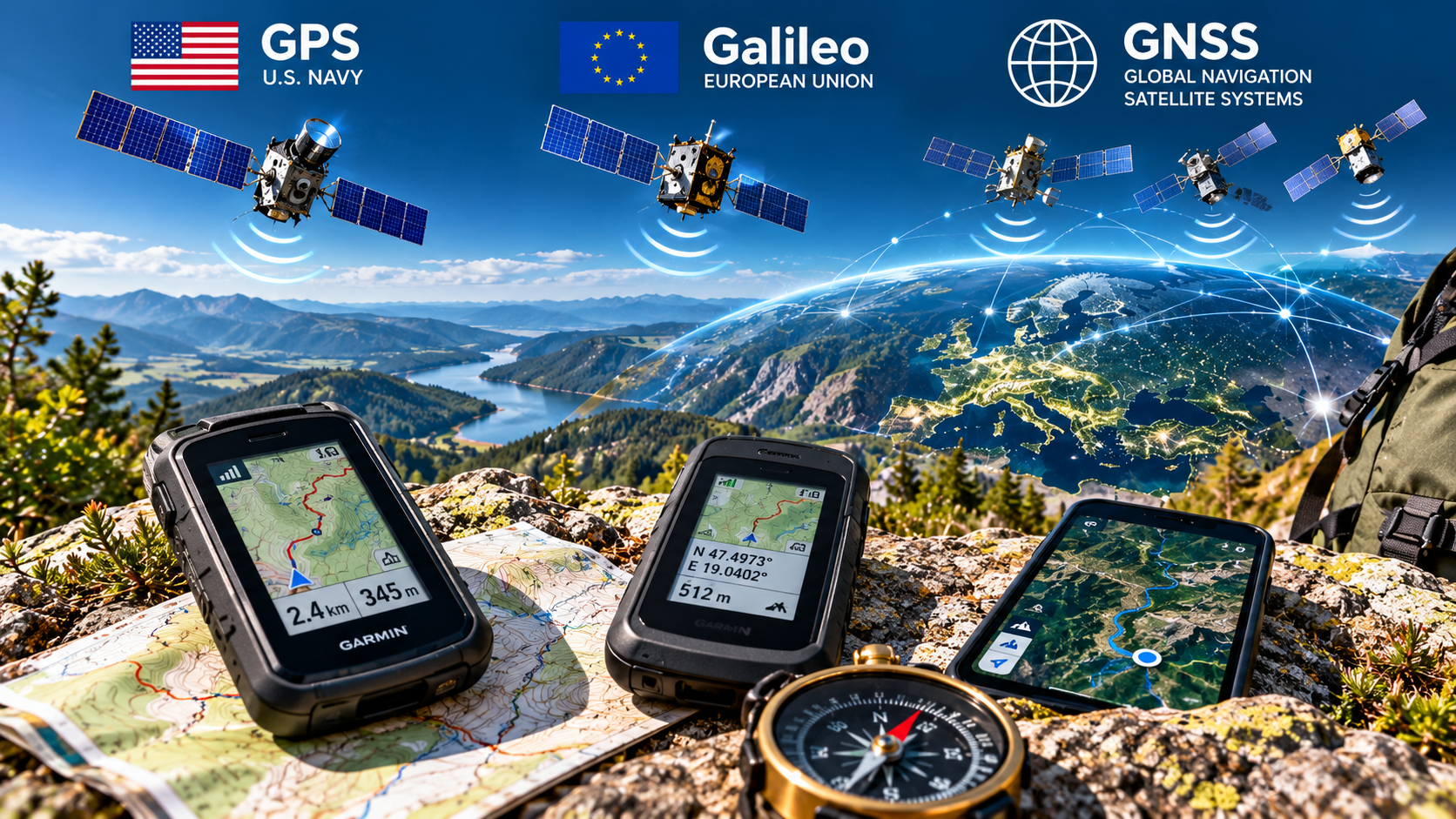
When you take out your smartphone, hiking watch or handheld navigation device on a European hike, there is a good chance that your position is not being determined by a single satellite system. Modern devices can often use satellites from the American GPS, European Galileo, Russian GLONASS and Chinese BeiDou systems at the same time. The collective term for these systems is GNSS. For hikers, therefore, the most important question is not “GPS or Galileo?”, but whether the device supports multi-GNSS and preferably multi-frequency reception. This becomes particularly important in narrow Alpine valleys, gorges, dense forests and between steep mountain slopes.
GPS belongs to the United States. Galileo belongs to the European Union. GNSS is the collective term for these and other satellite navigation systems.
Modern receivers can use signals from both systems together, giving the device more satellites from which to calculate its position.
A cliff or mountain slope can block a large part of the sky. The more constellations the receiver can use, the better its chances of obtaining favourable satellite geometry.
Multi-frequency reception can help reduce signal propagation errors, making it particularly useful in gorges, forests and mountainous terrain.
- GPS = American system It is not the general name for satellite navigation. It is only one global GNSS.
- Galileo = European system It is the European Union’s global satellite navigation system. A modern device can use it together with GPS.
- GNSS = the umbrella term GPS, Galileo, GLONASS and BeiDou are all GNSS systems.
- For hiking in Europe: multi-GNSS + dual-band In Alpine valleys, the Tatras, the Dolomites or dense forests, this can matter more than whether the specification simply says GPS or Galileo.
The “GPS” label often hides several satellite systems working at the same time
GNSS is the whole family; GPS is only one part of it
In everyday language almost all satellite navigation is called GPS, but a modern hiking device may work with several systems.If your phone or watch specification lists GPS + Galileo + GLONASS + BeiDou, you do not need to choose between four separate navigation systems. The receiver can use satellites from the supported constellations together to calculate your position.
For hiking in Europe, the goal is not one or the other – using both is more useful
American GPS and European Galileo are interoperable systems
A modern receiver can track both constellations at the same time, giving it more satellites from which to choose.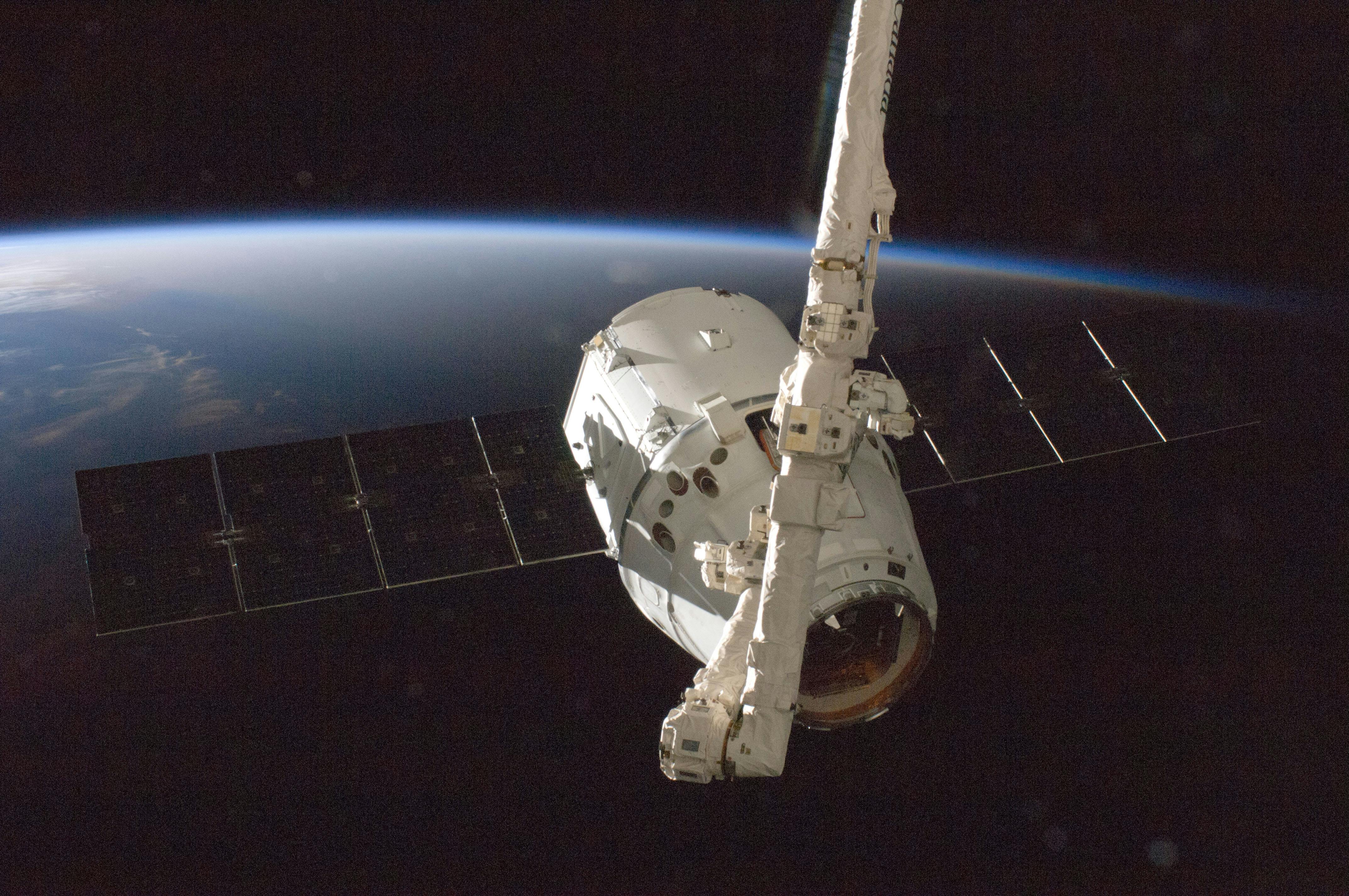
| GPS | Galileo | |
|---|---|---|
| System | Global Positioning System | Galileo |
| Operator | United States | European Union |
| Coverage | Global | Global |
| Usable in Europe? | Yes | Yes |
| Can they be used together? | Yes. Combined use is one of the main advantages of modern multi-GNSS receivers. | |
Just because you are hiking in Europe does not mean you need to switch to Galileo, and American GPS does not become less useful. GPS works worldwide, and Galileo is also a global system. For a modern receiver, the favourable situation is being able to use as many suitable satellites as possible from both systems.
Galileo’s orbital structure was designed in part to provide good satellite visibility at higher European latitudes. This does not mean that you should disable GPS when hiking in Norway or Sweden. Using multiple systems together remains more useful.
Multiple systems matter in the mountains because you cannot always see the whole sky
The less sky your receiver can see, the more valuable every additional usable satellite becomes
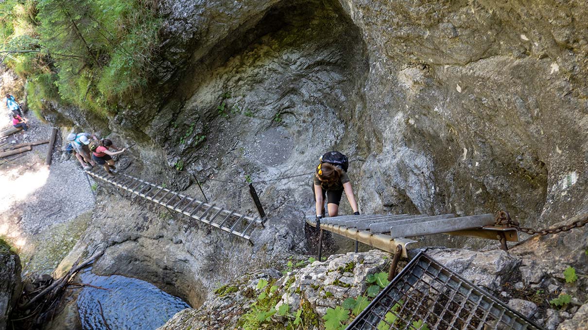
An open plateau is easy. A narrow Alpine valley or gorge creates a completely different reception environment.These situations are common when hiking in Europe. The narrow valleys of the High Tatras, deep Alpine valleys, the rock faces of the Dolomites, the gorges of Slovak Paradise, or even a dense beech forest all create a more difficult reception environment than open lowland terrain.
Using four constellations does not automatically make a device four times more accurate. The main advantage is that the receiver has more satellites from which to build favourable geometry, especially when the sky is partly obstructed.
For hikers, this can matter more than whether a device says GPS or Galileo
Multiple satellite systems and multiple frequencies are two different things
Multi-GNSS tells you how many constellations a receiver can use. Dual-band tells you whether it can receive navigation signals on more than one frequency.| Technology | What does it mean? | Why does it matter for hiking? |
|---|---|---|
| Single-band | Uses one frequency range. | Often perfectly adequate in open terrain. |
| Dual-band | Uses two separate frequencies for positioning. | Can help reduce atmospheric and signal-propagation errors, especially in difficult reception environments. |
| Multi-GNSS | Uses satellites from several constellations. | Can provide a larger number of usable satellites. |
| Multi-GNSS + dual-band | Uses multiple constellations and multiple frequencies. | For mountain hiking, this is currently one of the most favourable consumer GNSS configurations. |
A specification saying “GPS + Galileo” does not automatically mean the device supports dual-band operation. For serious hiking, look specifically for dual-frequency, dual-band, multi-band, L1+L5 or E1+E5.
The same device can behave very differently on an open ridge and in a deep valley
Most mountain GNSS errors do not happen simply because “the GPS is bad”
Terrain blocking the satellite signal, poor satellite geometry and reflected signals can matter much more.
| European hiking terrain | GNSS conditions | What helps? |
|---|---|---|
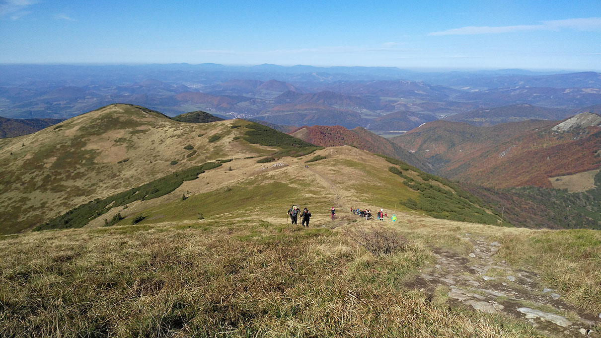
| Alpine or Tatra ridge | Usually good visibility of the sky. | Most modern multi-GNSS devices can be stable. |
| Deep Alpine valley | Mountain slopes can block large parts of the sky. | Multi-GNSS + dual-band can be particularly useful. |
| Dolomites, rock walls | Severe obstruction and reflected signals may occur. | Multi-frequency reception and a good antenna are advantageous. |
| Slovak Paradise gorge | Narrow sky view, rock walls and a wet environment. | The recorded position may occasionally jump even with a good receiver. |
| Carpathian forest | Tree canopy can weaken satellite signals. | Multi-GNSS, dual-band and good track filtering can help. |
| Open plateau | Many satellites visible, little signal reflection. | A single-band receiver can also provide good results. |
If the receiver temporarily loses favourable satellite geometry, the measured positions can shift. The recording software later joins these points together, so the GPX line may appear to cut a corner or pass through a rock face. This is not necessarily a map error.
Not for the satellite position – but your map may still need it
A GNSS receiver can determine its position without a mobile network
This is particularly important when hiking abroad or in high mountains where there may be no mobile coverage.The hiker downloads the GPX route but not the map. The phone then knows exactly where it is, but there is no map layer available underneath the track. Before leaving, switch the phone to airplane mode or disable mobile data and check that both the route and the map really work offline.
They are not best at exactly the same tasks
For hiking in Europe, the type of device matters at least as much as the satellite system
GNSS accuracy is only one factor: screen size, battery life, usability and offline maps also matter.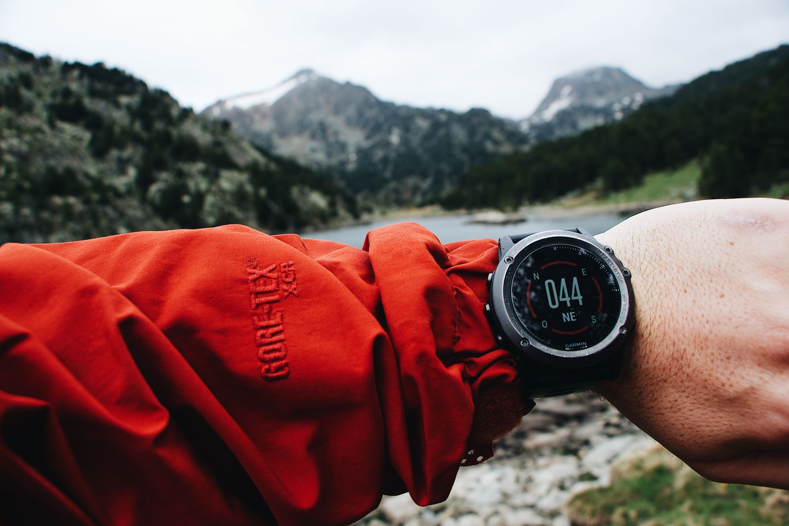
| Device | Strengths for hiking | Disadvantages |
|---|---|---|
| Smartphone | Large screen, detailed maps, easy GPX handling and many navigation apps. | Higher energy consumption, more difficult to use in cold or rain, and touchscreens can be awkward. |
| Hiking watch | Always on your wrist, good battery life, quick route checks and simultaneous sports tracking. | Small screen, less convenient for examining detailed maps. |
| Handheld hiking GPS | Rugged, physical buttons, long battery life and may be designed specifically for outdoor use. | A separate device, extra weight, and often a smaller or slower display than a smartphone. |
For a one-day hike on marked trails, a modern smartphone is often more than sufficient. On multi-day high-mountain trips, in bad weather or on long sections without mobile coverage, a good hiking watch or handheld navigation device can be considerably more convenient and energy-efficient.
For European mountain hiking, this is the more useful order of priorities
The word “GPS” is not the deciding factor
Both a cheap device and a flagship model can carry the word GPS, while their real-world outdoor performance may be very different.-
Multi-GNSS At minimum, look for GPS + Galileo support. GLONASS and BeiDou can provide additional usable satellites.
-
Dual-band or multi-band For serious mountain use, this is one of the most valuable GNSS features.
-
Offline maps The device or app should be able to store and use the required European maps without internet access.
-
GPX import Loading, displaying and following a route should be straightforward.
-
Off-route alerts If you leave the planned route, the device should notify you clearly.
-
GNSS battery life Do not look only at general smartwatch battery life. Check how long the device lasts with continuous GNSS recording, especially in dual-band mode.
-
Barometric altimeter Useful in mountain terrain, because satellite-derived altitude is generally less stable than horizontal positioning.
-
Real-world outdoor tests Two devices with similar GNSS specifications can still behave differently because of the antenna, device housing and software filtering.
Do not look for a device that uses “Galileo instead of GPS”. Look for one that can use GPS, Galileo and additional GNSS constellations together, preferably with dual-band reception, while also providing good offline maps, GPX support and sufficient battery life.
“Should I use GPS or Galileo in Europe?”
With modern hiking devices, you usually do not need to make that choice. The two constellations can complement each other.
Multi-GNSS? Dual-band? Good antenna? Offline maps? Enough battery life?
On an Alpine, Tatra, Carpathian or Dolomite hike, these features tell you much more about real navigation performance than the words GPS or Galileo alone. In open terrain almost every modern receiver can perform well; the real differences become visible in forests, deep valleys and between rock walls.
Sources and background
The technical information reflects the situation in September 2026. Actual GNSS accuracy depends on the device, antenna, satellite geometry, terrain obstruction, atmospheric conditions and device software.
- EUSPA – GNSS and your phone: multi-GNSS and dual-frequency
- European GNSS Service Centre – Galileo Open Service
- European GNSS Service Centre – Galileo-compatible devices
- ESA – Galileo constellation and orbital structure
- GPS.gov – GPS accuracy and factors that degrade reception
- Pexels – SpaceX: satellite above Earth
- Pexels – Maël BALLAND: hiker studying a route map in France
- Pexels – Maël BALLAND: GPS sports watch in mountain terrain