
How Does Temperature Change with Altitude in the Mountains?
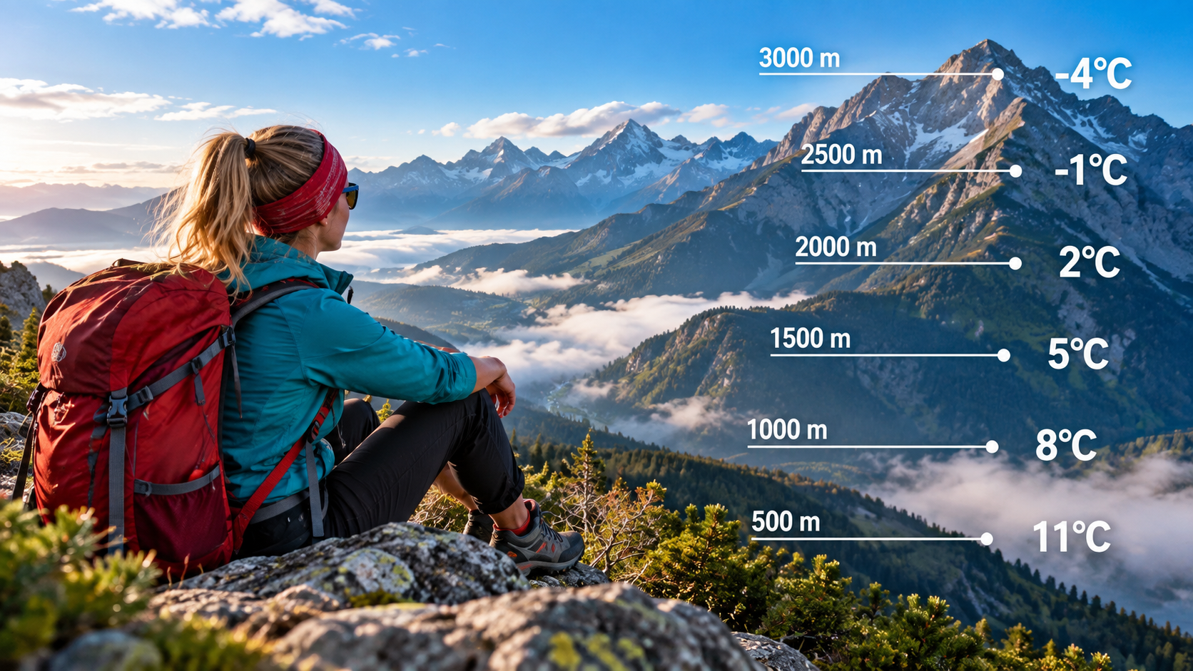
The simplest answer is that in the mountains, air temperature decreases by approximately 0.65 °C for every 100 metres of elevation gain on average. That means a difference of about 6.5 °C over 1,000 metres, or expressed another way: roughly 150–155 metres of ascent corresponds to about 1 °C of cooling on average. This is only an average atmospheric approximation, however. On a particular mountain slope or on a particular day, the actual change may be smaller, larger, or even reversed. Cloud cover, humidity, weather fronts, wind, time of day, cold-air pooling in valleys and temperature inversions can all significantly alter the temperatures you actually experience.
Using the standard atmospheric approximation, a location 1,000 metres higher can be expected to be about 6.5 °C colder.
Using the 6.5 °C/km average, approximately 154 metres of elevation difference corresponds to a 1 °C temperature change.
The actual atmospheric temperature gradient changes from hour to hour, from place to place and with the weather situation.
Cold air can collect in valleys, while warmer air may be found a few hundred metres higher.
- Quick hiking rule: 0.6–0.7 °C per 100 metres If you do not have better local data, you can estimate approximately 0.65 °C of cooling for every 100 metres of ascent.
- 500 metres of elevation difference ≈ 3.25 °C If it is 20 °C in the valley, the average rule gives an estimated temperature of about 16.8 °C 500 metres higher.
- 1,000 metres ≈ 6.5 °C A 1,000-metre elevation difference can already mean a significant change in the clothing you need.
- A temperature inversion can reverse the rule After clear, calm nights, a valley may be colder than the mountain slopes above it.
- A mountain forecast is more important than the formula The 0.65 °C rule is useful for estimation, but before setting out, always check the forecast for the elevation you actually plan to reach.
On average, temperature falls by about 0.65 °C for every 100 metres of elevation gain
The 6.5 °C per 1,000 metres rule is the best simple starting point
This is a standard average atmospheric temperature gradient, not a constant that applies to every mountain and every weather situation.| Elevation gain | Average temperature decrease |
|---|---|
| 100 m | about −0.65 °C |
| 250 m | about −1.6 °C |
| 500 m | about −3.25 °C |
| 750 m | about −4.9 °C |
| 1,000 m | about −6.5 °C |
| 1,500 m | about −9.75 °C |
| 2,000 m | about −13 °C |
Using the 6.5 °C per 1,000 metres average, a 1 °C temperature difference corresponds to roughly 154 metres of elevation difference. For quick mental calculation while hiking, you can simply round this to approximately 150 metres per 1 °C.
It is not simply because you are farther from the ground: decreasing air pressure is a key part of the explanation
As altitude increases, air pressure falls and rising air expands and cools
In the troposphere, where everyday weather takes place, temperature generally decreases with altitude.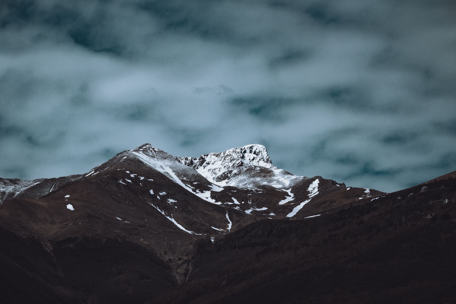
The Earth’s surface absorbs part of the incoming solar radiation and transfers energy to the air above it. For this reason, the lower troposphere receives a significant amount of its heat from below. At the same time, air pressure decreases with altitude. When an air parcel rises, the lower surrounding pressure allows it to expand, and that expansion causes cooling.
The environmental lapse rate and adiabatic temperature change are not the same thing
The three figures describe three different processes
This is one of the most common misunderstandings when discussing temperature change in the mountains.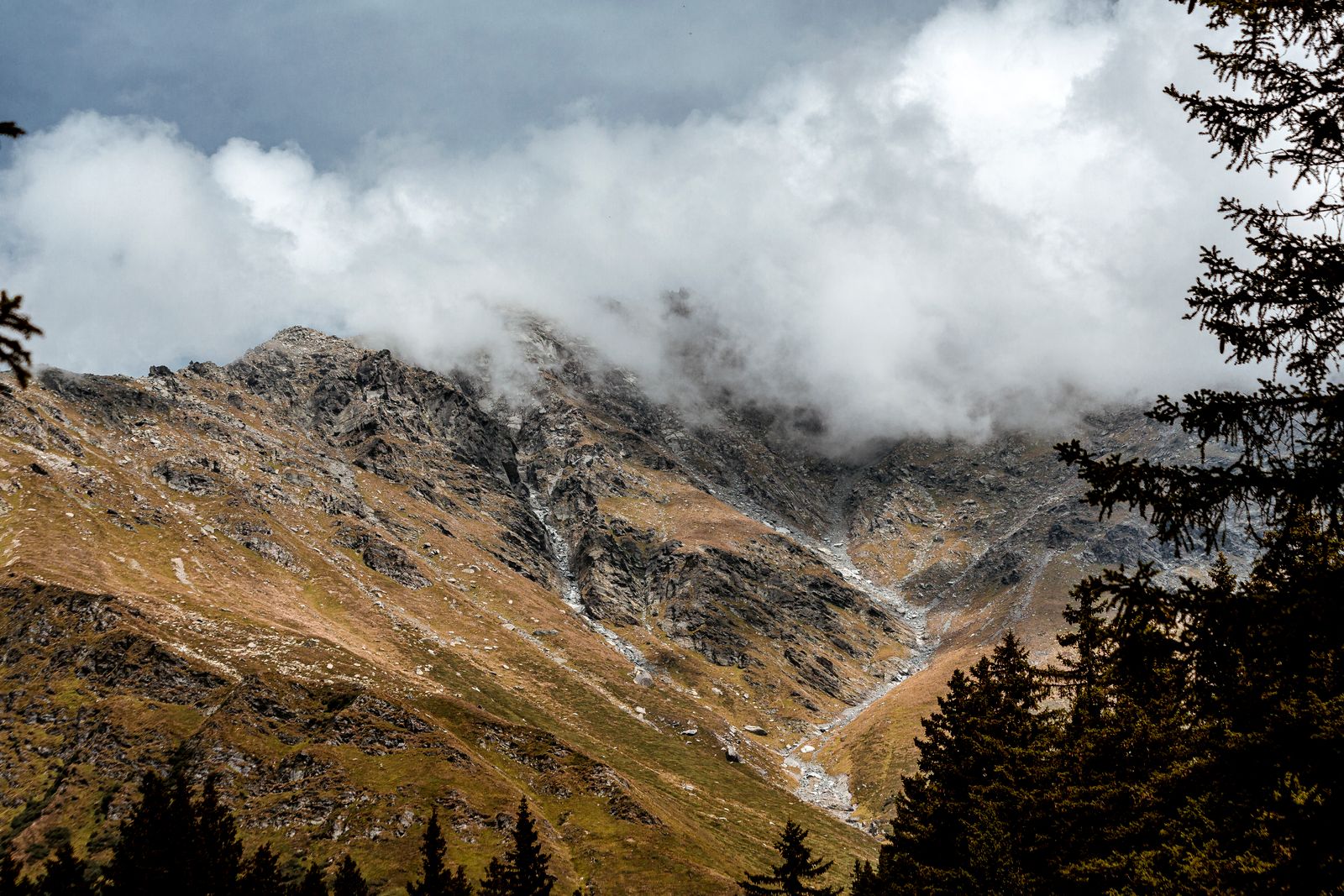
| Value | What does it mean? |
|---|---|
| about 6.5 °C / km | The standard average environmental lapse rate. For hikers, this is the most useful simple value for general temperature estimation. |
| 9.8 °C / km | The dry adiabatic lapse rate. It describes how an unsaturated parcel of rising air cools. It does not mean that every mountain is automatically 0.98 °C colder per 100 metres. |
| roughly 5–6 °C / km | A typical order of magnitude for saturated, moist rising air. The moist adiabatic lapse rate is not constant: it depends on temperature, pressure and moisture content. |
0.65 °C per 100 m is a useful approximation for the average observed change of atmospheric temperature with altitude. 0.98 °C per 100 m, however, describes the adiabatic cooling of a dry, rising air parcel. The two values should not be used interchangeably.
Multiply the elevation difference by 0.65 °C per 100 metres
A simple formula for hike planning
This is not a weather forecast, but a quick estimate of how much temperature may change because of elevation alone.Estimated summit temperature = starting temperature − (elevation difference / 100 × 0.65 °C)
| Example | Calculation | Estimated temperature |
|---|---|---|
|
700 m → 1,200 m At the start: 20 °C |
500 m × 0.65 °C / 100 m = 3.25 °C | about 16.8 °C |
|
800 m → 1,800 m At the start: 18 °C |
1,000 m × 0.65 °C / 100 m = 6.5 °C | about 11.5 °C |
|
1,200 m → 2,500 m At the start: 12 °C |
1,300 m × 0.65 °C / 100 m = 8.45 °C | about 3.6 °C |
|
500 m → 2,000 m At the start: 25 °C |
1,500 m × 0.65 °C / 100 m = 9.75 °C | about 15.3 °C |
When descending, the same approximation can be reversed: a drop of 100 metres may correspond to approximately 0.65 °C of warming. The actual atmospheric situation may of course differ.
A temperature inversion can completely reverse the usual mountain temperature pattern
Cold air can settle in the valley floor while higher mountain slopes remain milder
This is particularly common after calm, clear nights and during persistent high-pressure weather.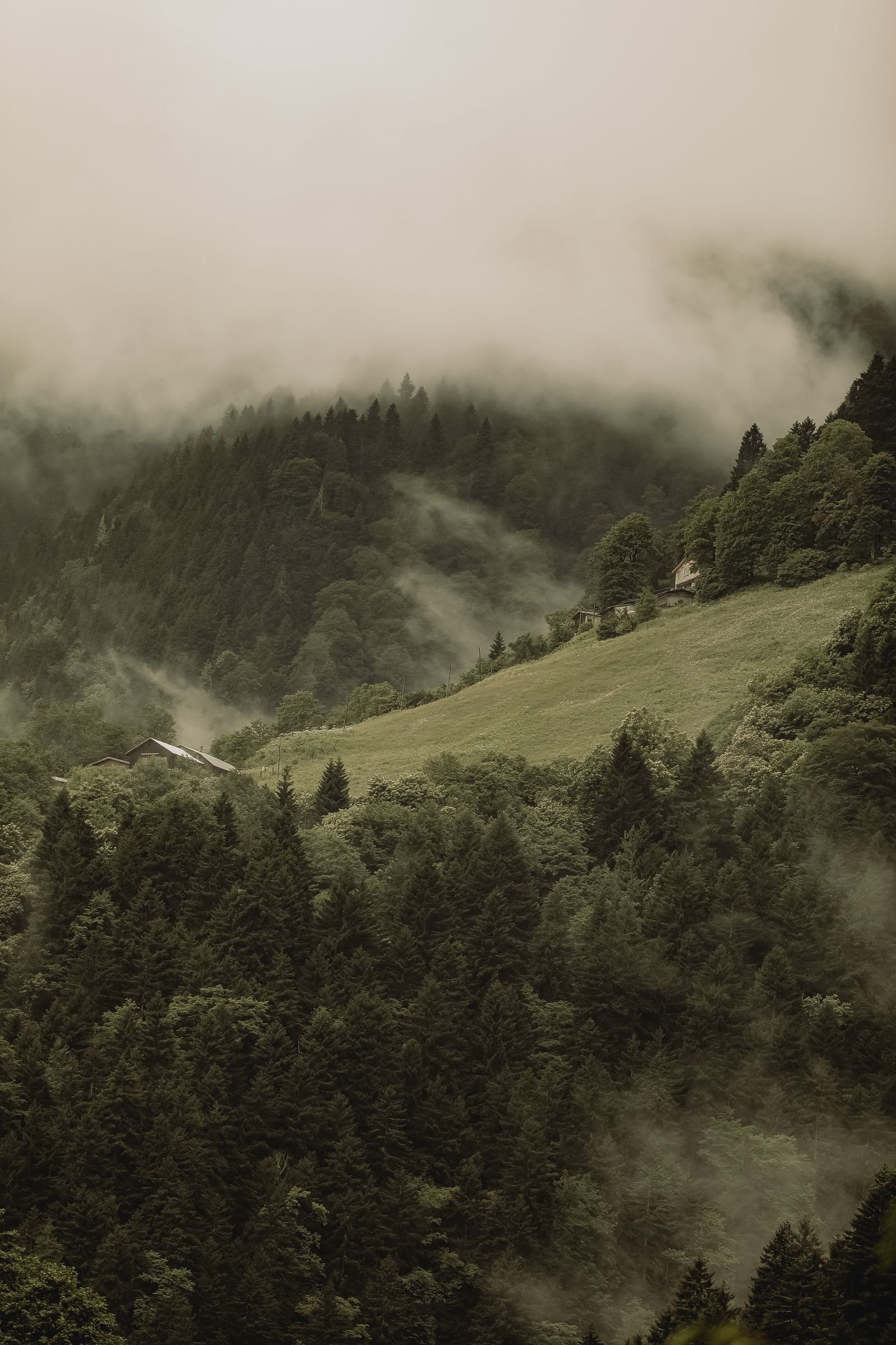
During clear nights, the ground can lose heat rapidly through radiation. The air in contact with it cools, becomes denser and can flow downhill with the terrain. This colder air may then collect in valleys and basins. A layer can develop in which temperature does not decrease with altitude, but instead increases for a certain height range.
During an inversion, using a valley weather station and simply applying an altitude correction can give a very poor estimate of summit temperature. In these situations, measurements from higher mountain stations and dedicated mountain forecasts are particularly useful.
Altitude is only one factor: the current air mass and weather situation are just as important
Two mountain summits at the same elevation do not necessarily have the same temperature
The atmospheric temperature gradient changes continuously, so 0.65 °C per 100 m is only a starting point for estimation.In strong wind, your body can lose heat much faster, which makes the weather feel significantly colder. However, wind chill does not mean that the actual air temperature has fallen to the wind-chill value. For hike planning, it is useful to consider air temperature and wind chill separately.
Pleasant weather in the car park does not automatically tell you what conditions will be like on the summit
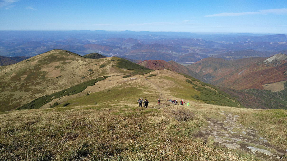
With 1,000–1,500 metres of elevation difference, you can encounter a completely different mountain environment
A green valley and snow-covered high mountain peaks can have very different temperatures and hiking conditions on the same day.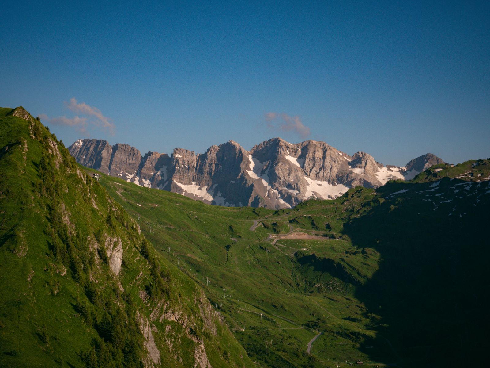
| Starting elevation | Summit elevation | Elevation difference | Average temperature difference |
|---|---|---|---|
| 500 m | 1,500 m | 1,000 m | about −6.5 °C |
| 800 m | 2,000 m | 1,200 m | about −7.8 °C |
| 1,000 m | 2,500 m | 1,500 m | about −9.8 °C |
| 1,200 m | 3,000 m | 1,800 m | about −11.7 °C |
For example, if it is 24 °C at a valley car park and your destination summit is 1,500 metres higher, the average approximation gives almost a 10 °C temperature difference. That would put the summit temperature at only around 14 °C before even considering wind, cloud, precipitation or an approaching cold front.
On a hike with a large elevation difference, the expected summit temperature, wind and precipitation probability are more useful than simply knowing the temperature in the car park when you start.
Use the 0.65 °C rule as a cross-check, not as a standalone weather forecast
Four steps give you a much better idea of what to expect higher up
Altitude correction is useful, but it works best when combined with actual mountain weather data.For quick mental calculation, you can use a range of 0.6–0.7 °C per 100 metres. This avoids treating a single decimal figure as a guaranteed forecast and gives a more realistic estimate range.
100 metres ≈ −0.65 °C, but actual mountain weather is always more important than the rule of thumb
On average, about 150–155 metres of ascent corresponds to 1 °C of cooling
For hike planning, a useful starting point is to expect approximately 0.65 °C of cooling per 100 metres, or 6.5 °C per 1,000 metres. This is an atmospheric and statistical approximation, not a guaranteed local value.
Altitude estimate + mountain forecast + wind + precipitation
Use the elevation difference to estimate the expected cooling, then compare it with the forecast for your actual destination elevation. During an inversion, weather front, heavy cloud or strong wind, real hiking conditions can differ significantly from the simple 0.65 °C rule.
Sources and background
The 0.65 °C per 100 metres figure is a standard average atmospheric approximation. The actual environmental lapse rate changes continuously, so for planning a specific hike, the current forecast for the destination area and destination elevation should always take priority.
- UCAR Center for Science Education – Change in the Atmosphere with Altitude
- NOAA / National Weather Service – Dry Adiabatic Lapse Rate
- NOAA / National Weather Service – Adiabatic and Moist Adiabatic Lapse Rate
- NOAA / National Weather Service – Mountain temperature variations and inversions
- NOAA / National Weather Service – Adiabatic warming and downslope winds
Photos used in this article: