Smartwatches for hiking: what should a good GPS hiking watch do, and which brands are available?
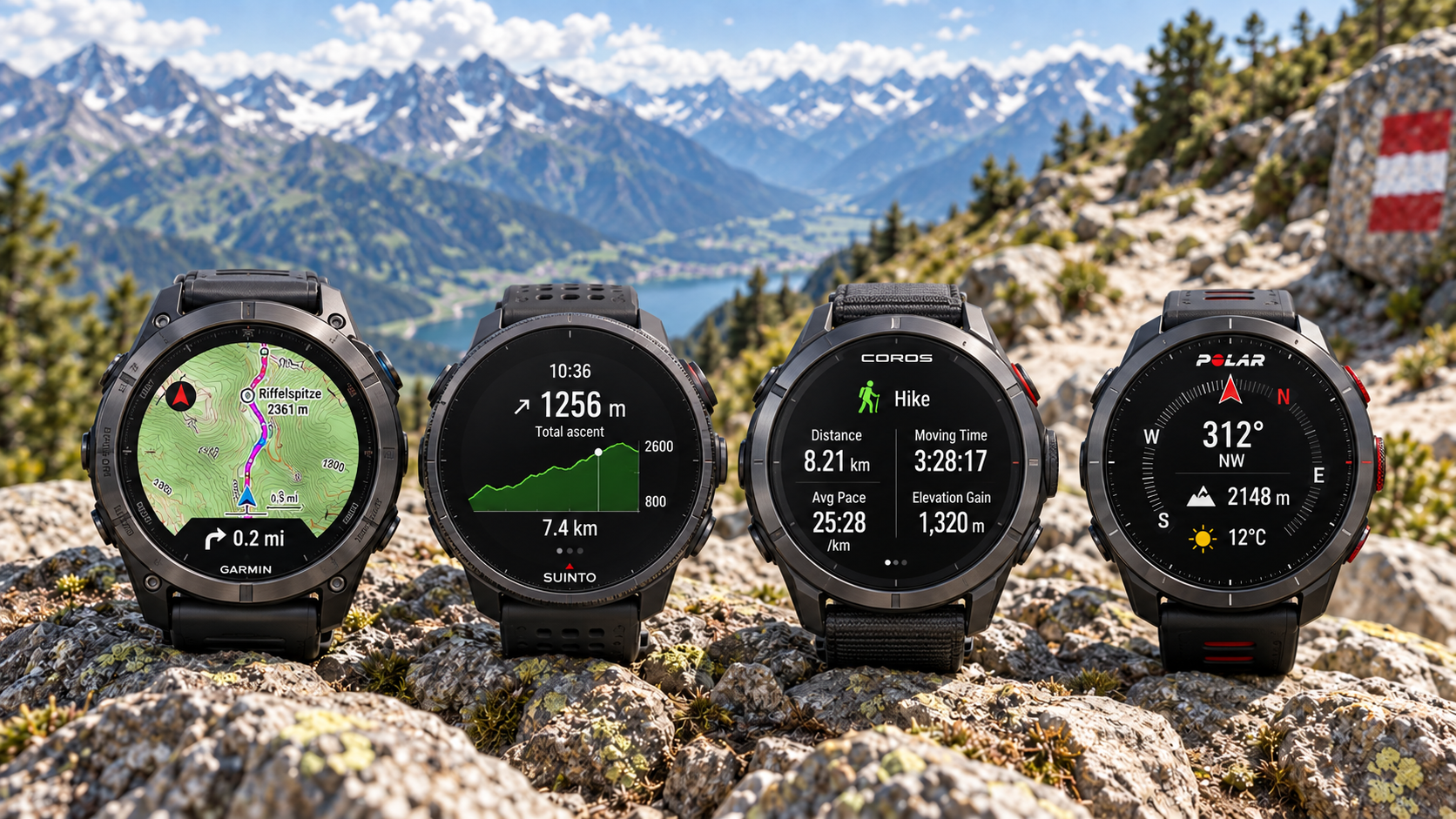
When hiking, the most important thing is not whether you can reply to messages or start music from your watch. In the mountains, far more valuable are accurate positioning, offline navigation, reliable altitude data, long GPS battery life, and the ability to operate the watch in rain and with gloves on. A good hiking watch does not replace a map, a phone or proper route planning, but it can be a very strong secondary navigation tool.
Better watches use multiple satellite systems and may also use two frequency bands, which can help in forests, gorges and steep mountain terrain.
A colour topographic map is not the same as simple breadcrumb tracking. Before buying, check exactly what the specific model can do.
“14 days of battery life” tells you very little on its own. For hiking, what matters is how many hours the watch can run with continuous satellite tracking and navigation.
A barometric altimeter can provide better elevation data, and on many watches it also contributes to weather-change or storm alerts.
- GPX + offline mapsIf you hike seriously, these two features are worth far more than a long list of general smartwatch functions.
- Barometer + compassCore outdoor sensors for altitude, elevation gain and navigation in the field.
- GPS battery life in hoursDo not start from the manufacturer’s smartwatch-days figure; continuous navigation and multi-band GNSS consume far more power.
- Choose a system, not a brandMaps, the app, GPX handling and battery life together matter more than the logo on the watch.
The job of a hiking watch is not to have as many features as possible
The features that actually matter
A one-day forest hike and a multi-day high-mountain route do not demand the same things from a watch.| Feature | Why is it useful on a hike? | How important is it? |
|---|---|---|
| GNSS / GPS | Records your track, provides your position and is required for navigation. | Essential |
| GPX import | Lets you transfer a pre-planned hiking route to the watch. | Very important |
| Offline maps | You can still see the surroundings, roads, terrain or topography without mobile coverage. | Strongly recommended for serious hiking |
| Barometric altimeter | Tracks altitude and elevation gain; many systems also monitor barometric trends. | Important in the mountains |
| Electronic compass | Helps you maintain direction even while standing still; you do not need to move for orientation. | Important |
| Backtracking | Shows the direction back to your starting point or along the track you have already travelled. | Useful safety backup |
| Off-route warning | Warns you if you leave the loaded track. | Very useful |
| Sunrise / sunset | Helps you judge how much daylight you have left. | Useful |
| Physical buttons | Much easier to operate reliably in rain, cold and gloves than a touch-only interface. | Strongly recommended in the mountains |
Recording a GPS track is not the same as navigation. Many inexpensive watches can record where you have been, but cannot guide you along a preloaded route, show a map or warn you when you go off route.
“It has GPS” is no longer enough information
GPS, multiple satellite systems and dual-frequency reception
In the mountains, accuracy is affected by sky visibility, rock walls, forest cover and the watch’s antenna design.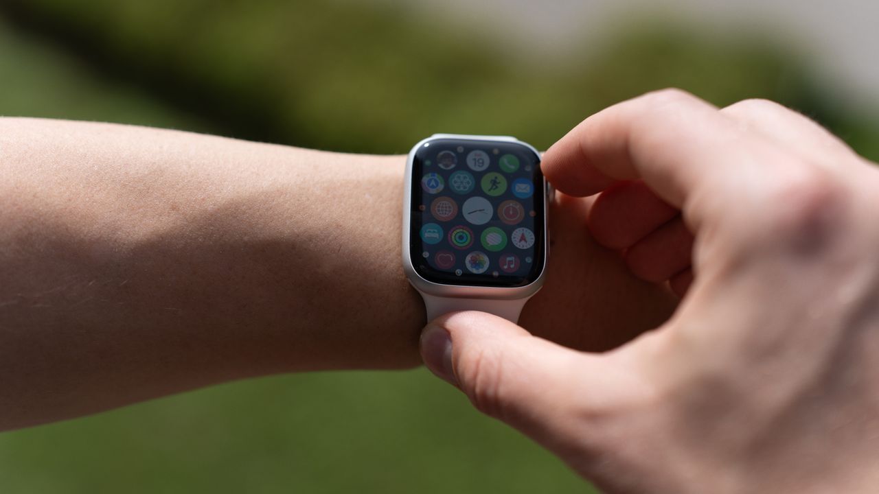
Dual-frequency GNSS is especially useful in deep valleys, between rock walls, in dense forest or among tall city buildings where it can offer an advantage. On an open plateau or broad ridge, a good single-frequency solution may also be accurate.
Higher accuracy has a cost: more satellite systems and more frequencies generally use more power. On a multi-day hike, it may not make sense to leave the most accurate mode enabled all the time.
The key question: do you only see a line, or a real map as well?
Four very different levels of navigation
The word “navigation” in a manufacturer specification does not tell you what you actually get.| Level | What do you see? | What is it enough for? |
|---|---|---|
| Breadcrumb | The route appears as a simple line without a background map. | Basic orientation on a well-defined trail. |
| GPX route following | Loaded track, direction, distance and possibly off-route warnings. | Already very useful for pre-planned hikes. |
| Offline background map | Roads, trails, waterways, terrain or topography behind the track. | Far more informative at junctions and route changes. |
| On-watch routing / rerouting | The watch itself can calculate or recalculate a route. | More flexible in the field, but not every mapping watch can do it. |
When checking GPX support, also see how easy it is to send a route to the watch. Garmin, Suunto, COROS, Polar and other sports-focused systems generally sync through their own apps; several ecosystems also work with Komoot, Strava or other third-party services.
Before setting off, test it in airplane mode or without your phone. That is how you find out whether the map is really stored on the watch or only loaded from the phone.
Map quality matters at least as much as whether a map exists
Check the specific country and terrain where you plan to use it.- Topography: contour lines, peaks, valleys and terrain information.
- Trail network: not every map shows every hiking trail with the same level of detail.
- POIs: searchable huts, parking areas, water sources and other points.
- Zooming: how usable it is on a small display, with gloves and in rain.
- Off-route behaviour: does it only warn you, or can it guide you back?
Think in hours of your own hike, not the manufacturer’s quoted “days”
What drains the battery most?
Display type, GNSS mode, map use, music, LTE and continuous sensor use all contribute.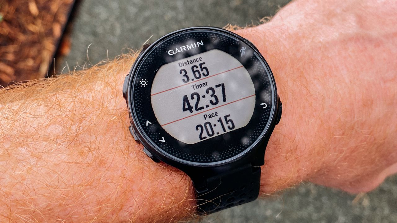
Brighter and more contrast-rich
Excellent for detailed maps and everyday smartwatch use, but always-on display and high brightness may use more power.
Efficient in sunlight
Less visually striking, but on outdoor watches it can provide long battery life and excellent readability in bright conditions.
For a day hike start with enough reserve for the watch to record GPS continuously for much longer than the expected duration of the route. On a multi-day hike it also matters whether it can be charged from a power bank while moving and whether recording can continue during charging.
Every battery can perform worse in the cold. On winter hikes, do not assume the same runtime you see at room temperature or in summer.
Durability: the glass is not the only thing that matters
A hiking watch should remain usable when it is wet, muddy or cold.Heart-rate data is useful, but a barometer and compass may help more with navigation
What is each sensor for?
Useful hiking measurements and safety functions are not the same category.| Feature | Benefit in the mountains | Limitation |
|---|---|---|
| Barometric altimeter | Altitude, elevation gain and ascent profile. | May need calibration because of changing weather. |
| Compass | Orientation and direction even while standing still. | May require calibration; magnetic objects can interfere with it. |
| Barometer / storm alert | Can warn about a rapid drop in air pressure. | Does not replace a weather forecast. |
| Heart rate | Tracks effort, intensity and recovery. | Wrist-based readings can be less accurate in cold conditions or during intense movement. |
| SpO₂ | Can provide interesting trend data at altitude. | It is not a medical decision-making tool, and accuracy varies by model. |
| Fall detection / SOS | Can help initiate an emergency call. | Many functions depend on a phone, mobile network or region. |
Having SOS, a siren or fall detection does not necessarily mean a watch can call for help without mobile coverage. True off-grid emergency communication may require a separate satellite communicator.
Garmin, Suunto, COROS, Polar, Apple, Samsung, Amazfit – each starts from a different strength
A sports watch is not the same as a classic smartwatch
Product ranges change constantly; the models and families below are examples of current outdoor directions, not a ranking.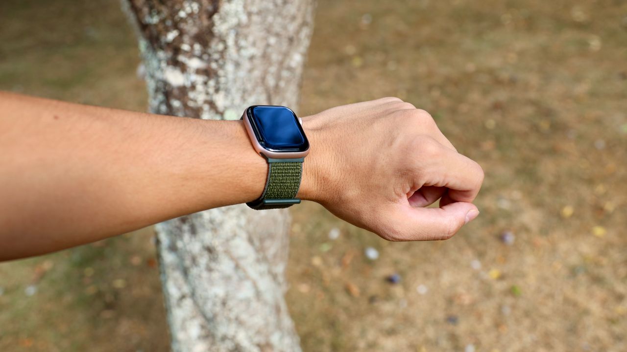
| Brand | Outdoor focus | Examples | What is worth knowing? |
|---|---|---|---|
| Garmin | Very strong mapping, navigation and sports ecosystem. | fēnix 8 family, Enduro and Instinct lines | Higher-end fēnix models offer multi-band GNSS, TopoActive maps, ABC sensors and long GPS battery life; mapping capabilities vary across product families. |
| Suunto | Strong outdoor and multisport focus. | Vertical 2, Race 2 | Offline maps, route navigation, dual-band GNSS and a strong hiking-focused app experience. |
| COROS | Long battery life, sports and mountain use. | APEX 4, VERTIX 2S, NOMAD | Topographic maps, GPX navigation, off-route alerts and dual-frequency GNSS on several models. |
| Polar | Training, recovery and outdoor navigation together. | Grit X2 Pro | Dual-frequency GPS, offline maps, elevation profile, route and back navigation; strong training-load and recovery features. |
| Apple | Full-featured smartwatch with strong hiking functions. | Apple Watch Ultra family | Offline maps, custom hiking routes, Compass Waypoints and Backtrack; an iPhone-centred ecosystem. |
| Samsung | Android smartwatch with outdoor functions. | Galaxy Watch Ultra | GPX-based route guidance, backtracking, L1+L5 GPS, rugged construction and SOS features; battery behaviour differs from classic sports watches. |
| Amazfit | Many outdoor features at more accessible price points. | T-Rex 3 Pro | Dual-band GNSS, offline maps, route planning, off-route alerts, compass and outdoor warnings. |
Important: there can be huge differences within the same brand. A Garmin Instinct, fēnix or Forerunner does not provide the same mapping experience; likewise, not every Suunto, COROS or Amazfit model has the same offline maps or dual-band GNSS.
If you want to filter specific models by features – GPX, maps, barometer, water resistance, long battery life – use the Túraprogramok hiking watch selector.
A weekend hike and a multi-day mountain trek need different watches
Usage profiles
You do not need to pay for every feature if you will never use it.What should you avoid paying extra for?
More expensive is not automatically better for your hikes.- LTE, if you always hike with your phone and will not use it for independent communication.
- Premium AMOLED, if battery life matters more to you than a spectacular display.
- Solar charging, if you mostly do short hikes and charge regularly.
- Complex training metrics, if your main goals are navigation and track recording.
- Extreme water resistance, if you do not do water sports; for hiking, adequate rain and weather resistance is what matters.
Ask these 12 questions before choosing a hiking watch
Quick checklist
If you know the answers to these, you can filter out a lot of marketing noise.- Can it import GPX routes?
- Does it have offline maps, vagy csak breadcrumb-vonalat mutat?
- Does the map show trails, contour lines and POIs in the area where you hike?
- Can it warn you when you go off route?
- Does it have a barometric altimeter and electronic compass?
- Does it support multi-GNSS or dual-band positioning?
- How many hours does it last in the GNSS mode that matters to you?
- Can it be used in rain and with gloves?
- How readable is the display in strong sunlight?
- Can it be charged from a power bank without losing hike recording?
- Which phone ecosystem is it tied to?
- Do the SOS or safety features work without mobile coverage, or do they require a phone or mobile network?
Frequently asked questions
These are the points most often confused in specifications.Does a hiking watch need offline maps?
Not strictly, but they are very useful in the mountains. A simple GPX line shows where you should go; a background map also shows the roads, valleys and junctions around you.
Why is dual-band GPS better?
By using two frequency bands, the watch can better filter some reflected signals from rock walls, buildings or terrain features. The biggest benefit appears in difficult reception environments, although it may consume more power.
Do you need Garmin for hiking?
No. Garmin has a very broad outdoor range, but Suunto, COROS, Polar, Apple, Samsung and Amazfit also offer models suitable for hiking. Compare the actual features model by model.
Is a phone enough, or do you also need a watch?
A phone is generally better for detailed mapping because of its larger screen. The advantage of a watch is that it stays on your wrist, lets you glance at the route quickly, and avoids pulling out your phone at every junction. Together they form a strong system.
Can a watch replace a satellite communicator?
Generally not. Some watches can provide SOS functions via a mobile network or phone, but true satellite messaging without mobile coverage is a separate capability. Always check support for the specific model and country.
Is AMOLED or MIP better for hiking?
There is no universal winner. AMOLED makes maps look richer and more detailed, while transflective MIP displays often provide longer battery life and excellent readability in sunlight. The actual model’s battery life matters more than the display technology name.
“Which brand is the best?”
First decide whether you need offline maps, how long your hikes are, how important dual-band GNSS is, and how many smartwatch features you want. The brand comes only after that.
Route → navigation → battery life → sensors → display → ecosystem.
Follow this order and you are more likely to choose a watch that helps on your hikes, rather than one that only looks good on a specification sheet.


Sources and background
Manufacturer features and model names change continuously. This article explains the general technical points relevant to hiking; before buying a specific watch, always check the current manufacturer specification for that model.
- Garmin — fēnix 8: TopoActive maps, multi-band GPS, altimeter, barometer, compass
- Garmin — satellite modes: GPS, All Systems, Multi-Band, Auto Select
- Garmin — fēnix 8 GPS and multi-band battery life
- Suunto — Race 2: dual-band GNSS, offline maps, route navigation
- Suunto — Vertical 2 offline maps
- COROS — All Systems and Dual Frequency GNSS modes
- COROS — APEX 4 topographic maps, GPX and off-route alerts
- Polar — Grit X2 Pro: dual-frequency GPS, offline maps and outdoor navigation
- Apple — Watch Ultra: offline maps, custom hiking routes and Compass Waypoints
- Samsung — Galaxy Watch Ultra: GPX navigation, Back Track, dual-frequency GPS, ruggedness
- Amazfit — T-Rex 3 Pro: dual-band GNSS, offline maps, route planning and off-route alerts
- Túraprogramok — hiking watch selector by GPS, GPX, maps, barometer and battery life
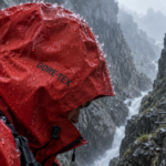
- Alin Serban / Pexels — hero image
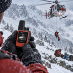
- Anastasiya Badun / Pexels — outdoor smartwatch
- K / Pexels — GPS sports watch
- Lucien Watterlot / Pexels — smartwatch in an outdoor setting