Best Hikes in the High Tatras: 12 Routes from Easy Walks to Major Peaks
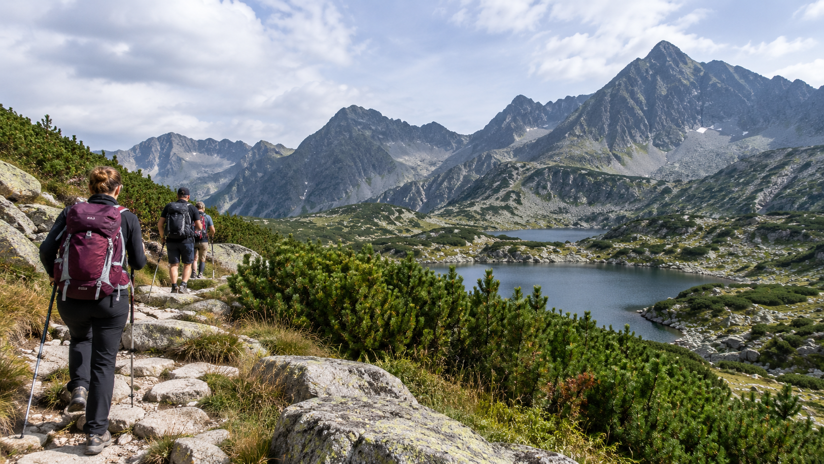
One of the greatest advantages of the High Tatras is that an exceptionally wide variety of hikes can be found within a relatively small area. On some routes, you can reach a glacial lake or waterfall within a few hours, while others involve an all-day summit hike with more than 1,000 metres of ascent, a chain-secured mountain pass or a circuit linking two high-altitude valleys. The region has around 600 kilometres of marked hiking trails, so there is little reason to simply tick off the most famous peaks one after another. The best choice depends on whether you are looking for your first Tatra hike, a lakeside destination, a waterfall, a mountain hut, your first 2,000-metre summit or a genuinely demanding high-mountain day. This selection includes 12 hiking programmes that together show almost every major side of the High Tatras.
From easy half-day walks to long, exposed high-mountain circuits.
Valleys, lakes, mountain huts, passes and marked summit routes within one mountain range.
The same region offers short family outings and demanding 8–9 hour high-mountain hikes.
Elevation gain, rocky terrain, exposure, chains and weather all affect how demanding a hike feels.
- First High Tatras hike Popradské pleso or Hrebienok – Cold Creek Waterfalls – Zamkovského chata.
- Best short scenic hike Skok Waterfall: forest, high mountain valley and a spectacular waterfall on a straightforward route.
- Best lake and hut destination Zelené pleso or Téryho chata.
- First 2,000-metre summit Predné Solisko: easy to access, relatively short and can be made easier using the chairlift.
- Big high-mountain experience Rysy, Kriváň, Bystrá lávka or Priečne sedlo, if you already have suitable mountain experience.
A lakeside walk, a summit hike and a chain-secured mountain pass are great for completely different reasons
Quick overview: what kind of experience does each hike offer?
Walking times are approximate and assume normal hiking conditions. Breaks, photography, crowds and trail conditions can change them considerably.| Hike | Starting point | Approximate data | Character |
|---|---|---|---|
| 1. Popradské pleso and Symbolický cintorín | Štrbské Pleso |
12.4 km approx. 170 m approx. 3:05 |
Easier, scenic half-day hike |
| 2. Cold Creek Waterfalls and Zamkovského chata | Hrebienok |
7 km 190 m approx. 2:05 |
Easy, family-friendly |
| 3. Skok Waterfall | Štrbské Pleso |
11.4 km 442 m approx. 2:45 |
Easy–moderate |
| 4. Zelené pleso | Biela voda |
approx. 2.5–3 hours one way |
Moderate, longer valley hike |
| 5. Téryho chata | Hrebienok |
11.4 km 730 m approx. 4:35 |
Moderate |
| 6. Predné Solisko | Štrbské Pleso |
8.4 km 770 m approx. 4:25 |
Moderate summit hike |
| 7. Kôprovský štít | Štrbské Pleso |
20 km 1020 m approx. 7:00 |
Difficult, long summit hike |
| 8. Slavkovský štít | Starý Smokovec |
15 km 1467 m approx. 7:15 |
Very physically demanding |
| 9. Rysy | Popradské Pleso railway stop |
18.6 km 1253 m approx. 7:20 |
Difficult, with secured sections |
| 10. Kriváň | Štrbské Pleso |
18.4 km 1148 m approx. 7:10 |
Difficult summit hike |
| 11. Mlynická–Furkotská Valley and Bystrá lávka | Štrbské Pleso |
15.6 km 948 m approx. 5:50 |
Difficult high-mountain circuit |
| 12. Priečne sedlo | Starý Smokovec |
21.9 km 1367 m approx. 8:45 |
Very difficult, exposed high-mountain circuit |
This selection focuses on hikes that can be completed on marked tourist trails. The normal ascent of Gerlachovský štít, the hiking approach to Lomnický štít and several other major Tatra summits are not ordinary marked hiking routes. They should be treated as guided mountain, mountaineering or specialist activities.
Popradské pleso, the Cold Creek Waterfalls and Skok: three hikes that work well even on a first trip to the High Tatras
1. Popradské pleso – one of the best first hikes in the High Tatras
A straightforward trail, alpine lake, mountain huts and a dramatic ring of peaks.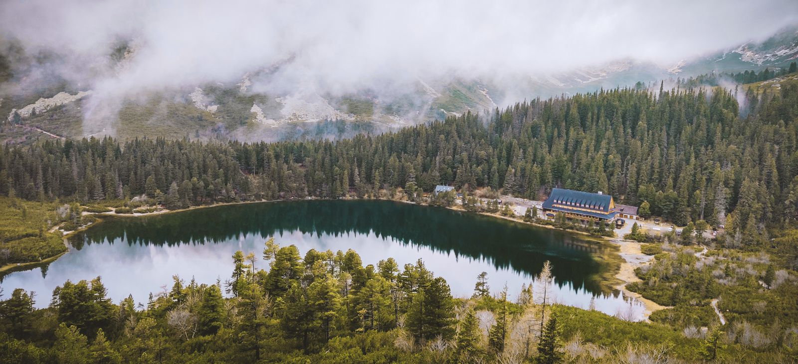
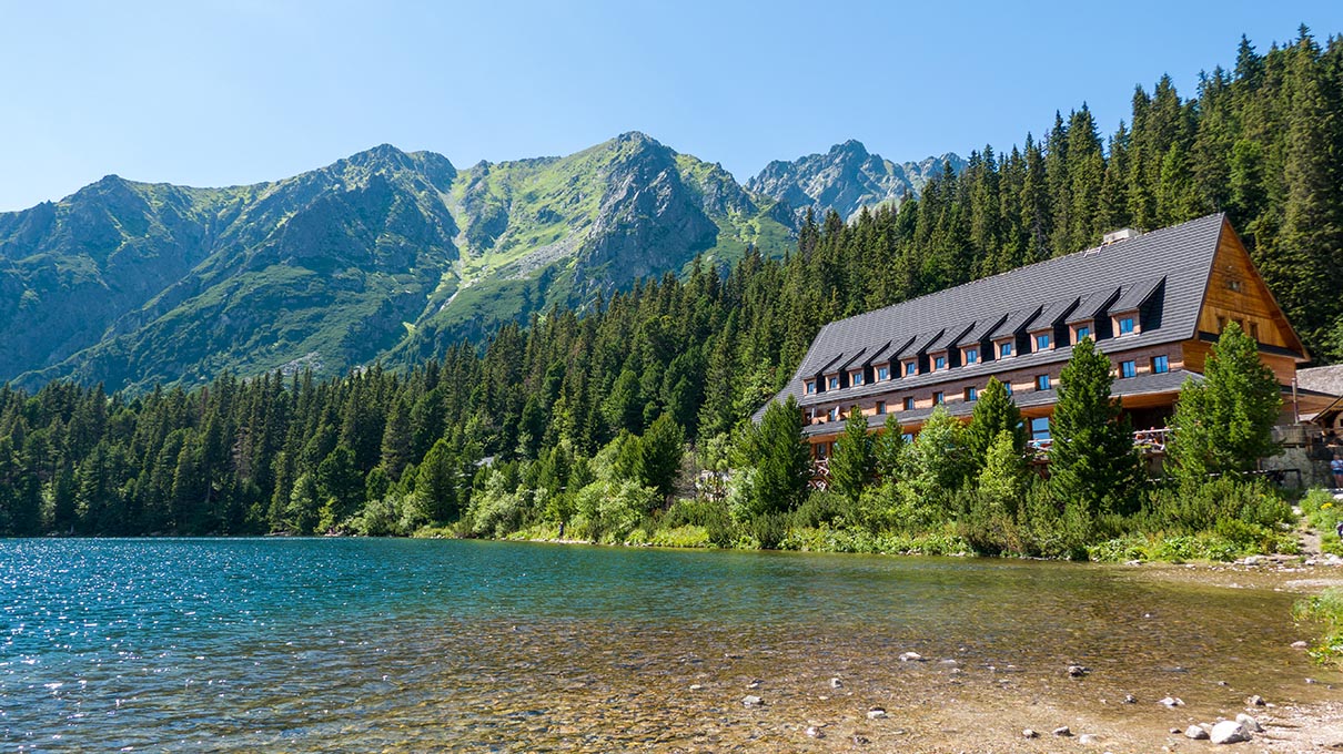
Popradské pleso is almost a textbook first hiking destination in the High Tatras. From Štrbské Pleso, the trail passes through forest and gradually enters a more open mountain landscape before reaching the lake. The destination is spectacular, but the route itself does not require chains or other technical high-mountain passages.
The lake lies at around 1,500 metres. Directly beside it are Horský hotel Popradské pleso and Majláthova chata, so this is one of the routes where food and a proper rest stop are available along the way.
2. Hrebienok – Cold Creek Waterfalls – Zamkovského chata
An impressive amount of scenery on a relatively short route: waterfalls, Rainerova chata, Obrovský vodopád and Zamkovského chata.The Hrebienok area is one of the best parts of the High Tatras if you are not looking for a full-day summit climb but still want a varied mountain programme. From Starý Smokovec, a funicular can also take you up to Hrebienok, which makes the walking section considerably shorter.
From Hrebienok, the complete route is roughly 7 kilometres, with around 190 metres of ascent and approximately two hours of pure walking time. Starting on foot from Starý Smokovec naturally makes the outing longer.
3. Skok Waterfall – an easily accessible taste of the high mountains
The trail runs from Štrbské Pleso through Mlynická Valley to one of the most famous waterfalls in the Tatras.Vodopád Skok is an excellent next step after easier lakeside walks if you want more open, rocky mountain surroundings.
The first part of the route passes through forest, before Mlynická Valley gradually opens up. The basic hike to the waterfall is not technically difficult. Continuing above the waterfall, however, is a different category: that is where the more demanding route towards the higher lakes and Bystrá lávka begins.
Zelené pleso and Téryho chata: two destinations where the endpoint alone makes the hike worthwhile
4. Zelené pleso – one of the most beautiful mountain lake basins in the Tatras
Green-blue water, steep rock walls and a mountain hut standing directly beside the lake.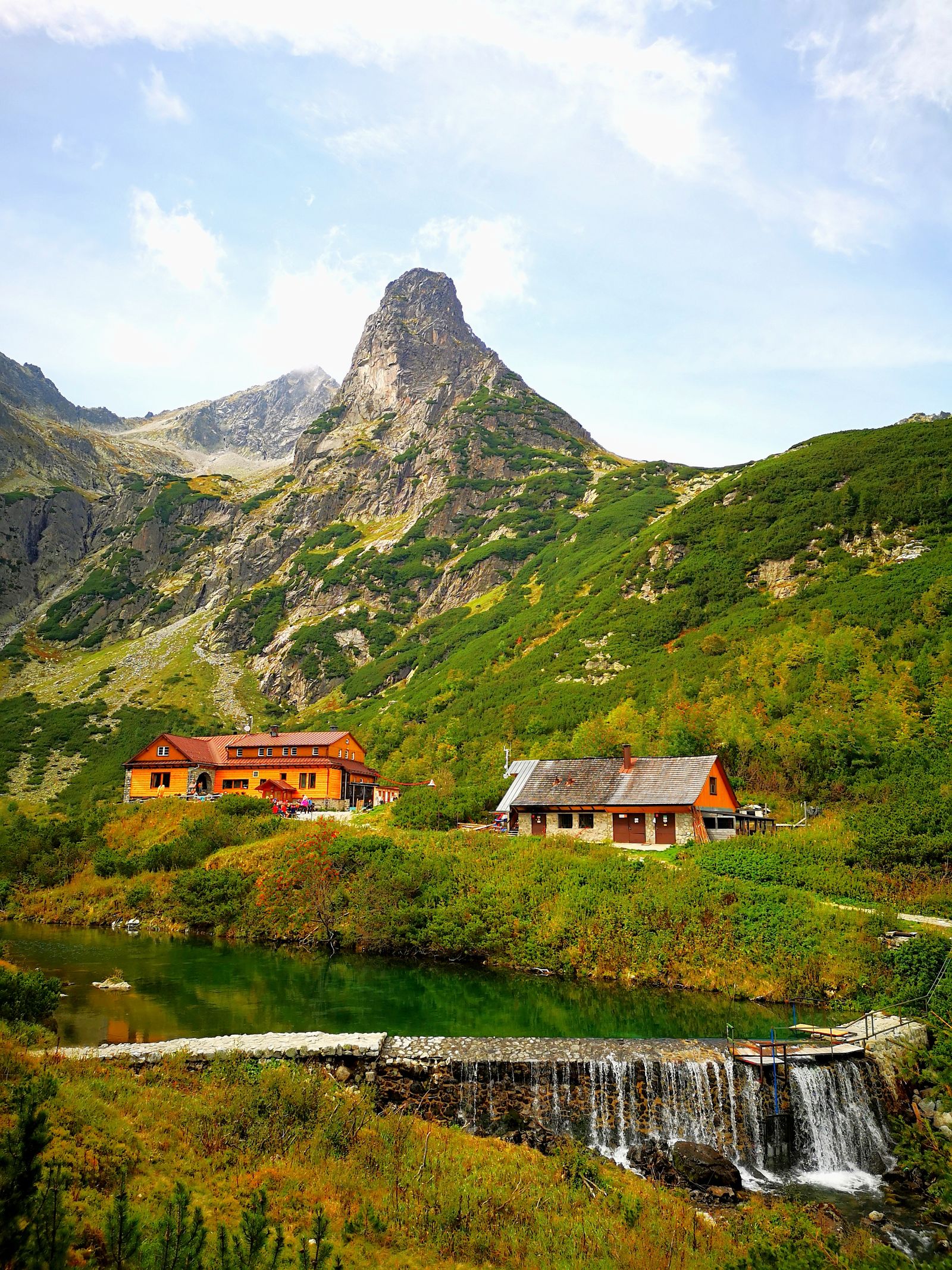
Zelené pleso lies at 1,551 metres in a high mountain basin surrounded by steep rock walls. Directly on the shore stands Chata pri Zelenom plese, which is itself a popular hiking destination.
The most common approach starts from Biela voda. The lake can generally be reached in around 2.5–3 hours one way, on a longer, but fundamentally straightforward valley route.
5. Téryho chata – high-mountain hiking without major technical obstacles
A mountain hut at 2,015 metres, the Five Spiš Lakes and the dramatic upper basin of Malá Studená Valley.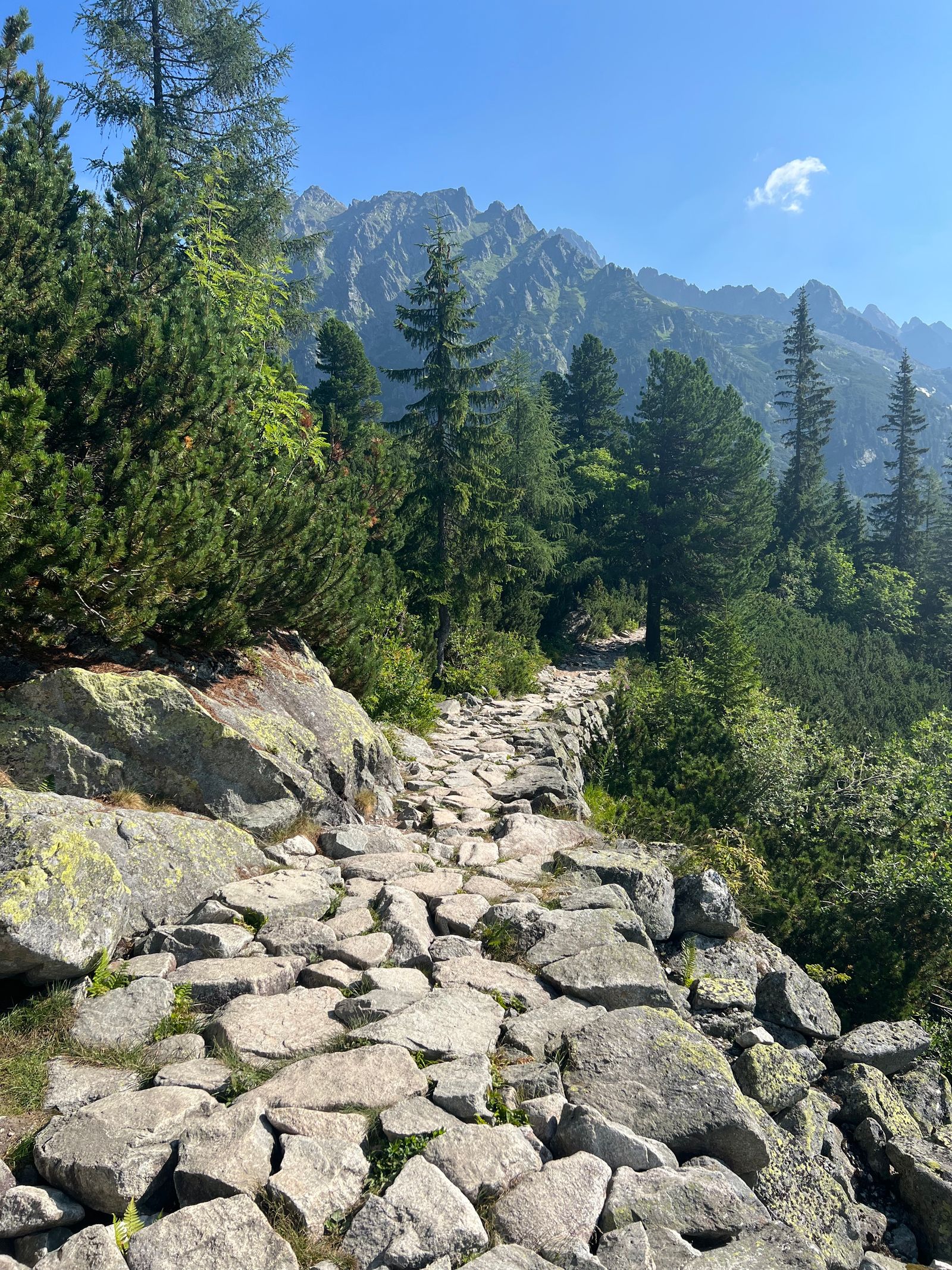
Téryho chata is one of the best choices if you want something more serious than the classic easier Tatra hikes, but do not yet want a chain-secured pass or exposed summit terrain.
After Zamkovského chata, the trail continues into the upper part of Malá Studená Valley. The final climb becomes steeper and follows rocky switchbacks, but under normal summer conditions it does not require via ferrata-style protected climbing.
Predné Solisko and Kôprovský štít: two good stepping stones towards the bigger peaks
6. Predné Solisko – one of the best first 2,000-metre summits
A marked trail, mountain hut and the option to shorten the hike using a chairlift.
Predné Solisko is one of the easiest marked High Tatras summits to reach. The full walking route starts at Štrbské Pleso and climbs via Chata pod Soliskom.
The section below the summit is already rocky, with loose mountain terrain, but there is no long chain-secured section like on Rysy or Priečne sedlo. For this reason, it can be a good transition between valley hikes and more demanding summit days.
7. Kôprovský štít – a major hike where technical difficulty is not the main challenge
Popradské pleso, Mengusovská Valley, Veľké Hincovo pleso and a 2,367-metre summit.Kôprovský štít is one of the best choices for a first long High Tatras summit hike with more than 1,000 metres of ascent. The main challenge comes from the distance, elevation gain and rocky upper terrain.
One of the highlights of the route is Veľké Hincovo pleso, the largest and deepest lake in the Slovak High Tatras. From here, the trail climbs towards Vyšné Kôprovské sedlo, followed by the rocky path to the summit.
Slavkovský štít, Rysy and Kriváň: three classics, three completely different challenges
8. Slavkovský štít – the test of sustained climbing
Few technical obstacles, but almost 1,500 metres of ascent.Slavkovský štít is a good example of how a mountain hike can be very difficult without chains. From Starý Smokovec, the trail climbs almost continuously, with roughly 1,467 metres of ascent over the full route.
The upper section is rocky and covered in loose terrain, while one of the main challenges is pacing yourself properly. There is no major high-altitude hut directly on the route like the ones found on the way to Rysy or Téryho chata.
9. Rysy – one of the most famous Tatra summits accessible by marked trail
Mountain lakes, Chata pod Rysmi, chains, metal steps and a 2,499-metre summit.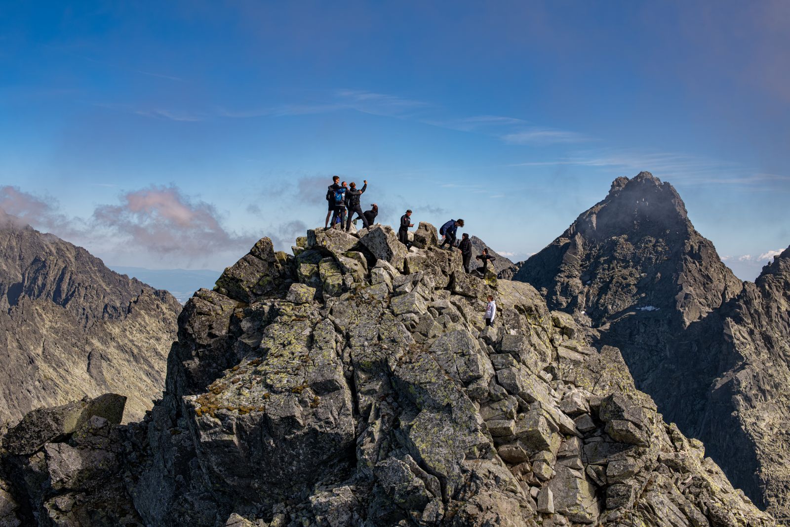
Rysy is one of the best-known High Tatras summits that can be reached on a marked hiking route. The trail climbs from the Popradské pleso area towards Žabie plesá, before entering secured mountain terrain higher up.
Below the summit, at 2,250 metres, stands Chata pod Rysmi, the highest mountain hut in the High Tatras. From here, the route continues through Váha saddle, with roughly another three quarters of an hour of climbing to the summit.
Rysy is not only long: it also contains exposed, artificially secured sections. Even in dry conditions with good visibility, it is better suited to hikers who already have experience moving confidently on rocky high-mountain terrain.
10. Kriváň – one of Slovakia’s most recognisable mountain symbols
A long forest approach, open high-mountain terrain and a steep, rocky summit section.From Štrbské Pleso, the route towards Jamské pleso is initially relatively comfortable. After the junction, the real climb begins. Higher up, vegetation gradually disappears, and the surroundings become increasingly rocky and covered in loose debris.
The upper section is not a classic via ferrata, but secure movement and good balance are important on the steeper slabs and rocky passages. Kriváň is therefore not simply a “longer walk”, but a proper high-mountain summit hike.
Bystrá lávka and Priečne sedlo: when the route itself is more interesting than a single summit
11. Mlynická–Furkotská Valley and Bystrá lávka
Two high mountain valleys, Skok Waterfall, alpine lakes and a chain-secured mountain pass.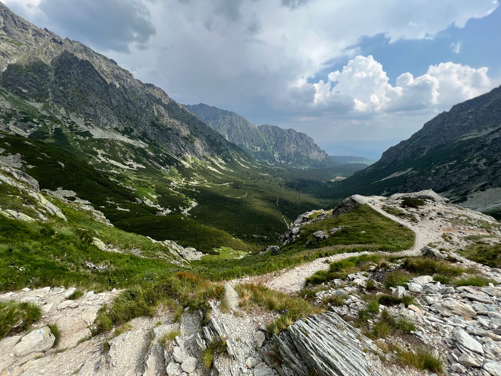
The hike starts from Štrbské Pleso towards Skok Waterfall, then continues into the upper, lake-filled part of Mlynická Valley. After crossing Bystrá lávka, the descent already follows Furkotská Valley.
This circuit is particularly rewarding because it is not simply an out-and-back summit hike: it connects two different high mountain valleys, so the scenery changes almost continuously.
12. Priečne sedlo – the most complex high-mountain hike in this selection
Téryho chata, Priečne sedlo, Zbojnícka chata and two major high-altitude valleys in one circuit.From Starý Smokovec, the route climbs through Hrebienok, Zamkovského chata and Téryho chata towards Priečne sedlo.
The classic route passes through exposed, chain-secured terrain. A separate via ferrata also exists beside the pass, and it is not the same as the traditional chain-secured hiking route. Suitable via ferrata equipment is appropriate for anyone choosing that line.
On the far side, the route continues into Veľká Studená Valley and past Zbojnícka chata, before a long descent back towards Hrebienok and Starý Smokovec.
The 21.9 kilometres come with 1,367 metres of ascent, exposed rocky terrain, chain-secured sections and almost nine hours of base walking time. This is a route for experienced, fit high-mountain hikers.
Do not look for the single “best” hike: look for the route that matches the experience you are ready for
Quick selector for the 12 routes
Difficulty is determined not only by distance, but also by elevation gain, terrain, exposure and secured sections.| If you are looking for… | First choice | Second option |
|---|---|---|
| Your first High Tatras hike | Popradské pleso | Hrebienok and the waterfalls |
| A short but scenic programme | Hrebienok – Zamkovského chata | Skok Waterfall |
| A waterfall | Skok | Cold Creek Waterfalls |
| The best lakeside destination | Zelené pleso | Popradské pleso |
| A high-altitude mountain hut | Téryho chata | Chata pri Zelenom plese |
| Your first 2,000-metre summit | Predné Solisko | Kôprovský štít, if you are already comfortable with longer hikes |
| A long, less technical summit hike | Kôprovský štít | Slavkovský štít |
| An iconic High Tatras summit | Rysy | Kriváň |
| The biggest fitness challenge | Slavkovský štít | Kriváň |
| The best high-mountain circuit | Bystrá lávka | Priečne sedlo |
| A chain-secured, exposed route | Priečne sedlo | Rysy |
| The most complex programme | Priečne sedlo | Bystrá lávka |
A sensible progression could be: Popradské pleso → Skok → Téryho chata → Predné Solisko → Kôprovský štít → Rysy → Bystrá lávka → Priečne sedlo. This is not a mandatory order, but it illustrates well how both physical and technical demands increase.
In the High Tatras, the same route can be a straightforward summer hike and a serious mountain undertaking in snow
Some high-altitude hiking trails are subject to seasonal closures
Always check separately whether your chosen route is open during the period you plan to hike it.TANAP seasonally closes certain high-altitude trail sections to protect the mountain environment and wildlife. The restriction does not affect every route: several lower valley trails and routes leading to some mountain huts follow different rules.
A legally open hiking trail may still be snow-covered, icy, stormy, waterlogged or exposed to strong winds. Before a serious high-mountain hike, check not only whether the route is open, but also the weather and current mountain conditions.
What should you check before setting off?
Planning a High Tatras hike does not end when you download the GPX file.In Slovakia, the Horská záchranná služba is responsible for mountain rescue. Because mountain rescue operations may involve costs, it is sensible to have insurance that covers mountain rescue and the type of hiking activity you plan to undertake.
The best hike in the High Tatras is not necessarily the highest summit
Popradské pleso, the Cold Creek Waterfalls and Skok Waterfall
These routes already show a great deal of what makes the High Tatras special without requiring technical terrain or an extremely long mountain day. Lakes, conifer forests, waterfalls and mountain panoramas are all accessible.
Zelené pleso, Téryho chata and Predné Solisko
These routes involve more climbing and higher mountain terrain, but under normal summer conditions long chain-secured or highly exposed sections are not the main challenge.
Kôprovský štít, Slavkovský štít, Rysy, Kriváň, Bystrá lávka and Priečne sedlo
These routes involve around 1,000 metres or more of ascent, long walking times, rocky high-mountain terrain and, on some routes, chain-secured, exposed sections. They should be planned not simply as destinations, but as complete high-mountain days.

Sources and background
Exact trail accessibility, seasonal restrictions, walking times and technical conditions can change. This article is a general guide to choosing hikes in the High Tatras: before setting off, always check the latest information from TANAP, the Horská záchranná služba and the official source for the specific route.
- Región Vysoké Tatry – mountain hiking
- TANAP – hiking and trail regulations
- Horská záchranná služba – High Tatras
- Visit Tatry – Popradské pleso and Symbolický cintorín
- Visit Tatry – Hrebienok, Cold Creek Waterfalls and Zamkovského chata
- Visit Tatry – Skok Waterfall
- Visit Tatry – Biela voda and Zelené pleso
- Visit Tatry – Téryho chata
- Visit Tatry – Predné Solisko
- Visit Tatry – Kôprovský štít
- Visit Tatry – Slavkovský štít
- Visit Tatry – Rysy
- Visit Tatry – Kriváň
- Visit Tatry – Mlynická and Furkotská Valleys, Bystrá lávka
- Visit Tatry – Priečne sedlo
- Visit Tatry – via ferrata at Priečne sedlo
Photos used in this article:
- Pexels – Aleksandra S: hiking trail in the High Tatras
- Pexels – Mohammed Thoufik: Popradské pleso
- Pexels – Viliam Kudelka: Zelené pleso
- Pexels – György Lakatos: hiking trail in the High Tatras
- Pexels – Karol Czinege: Štrbské Pleso
- Pexels – Mr Alex Photography: Rysy
- Pexels – György Lakatos: high mountain valley in the High Tatras